Transport Functions
Multimodal
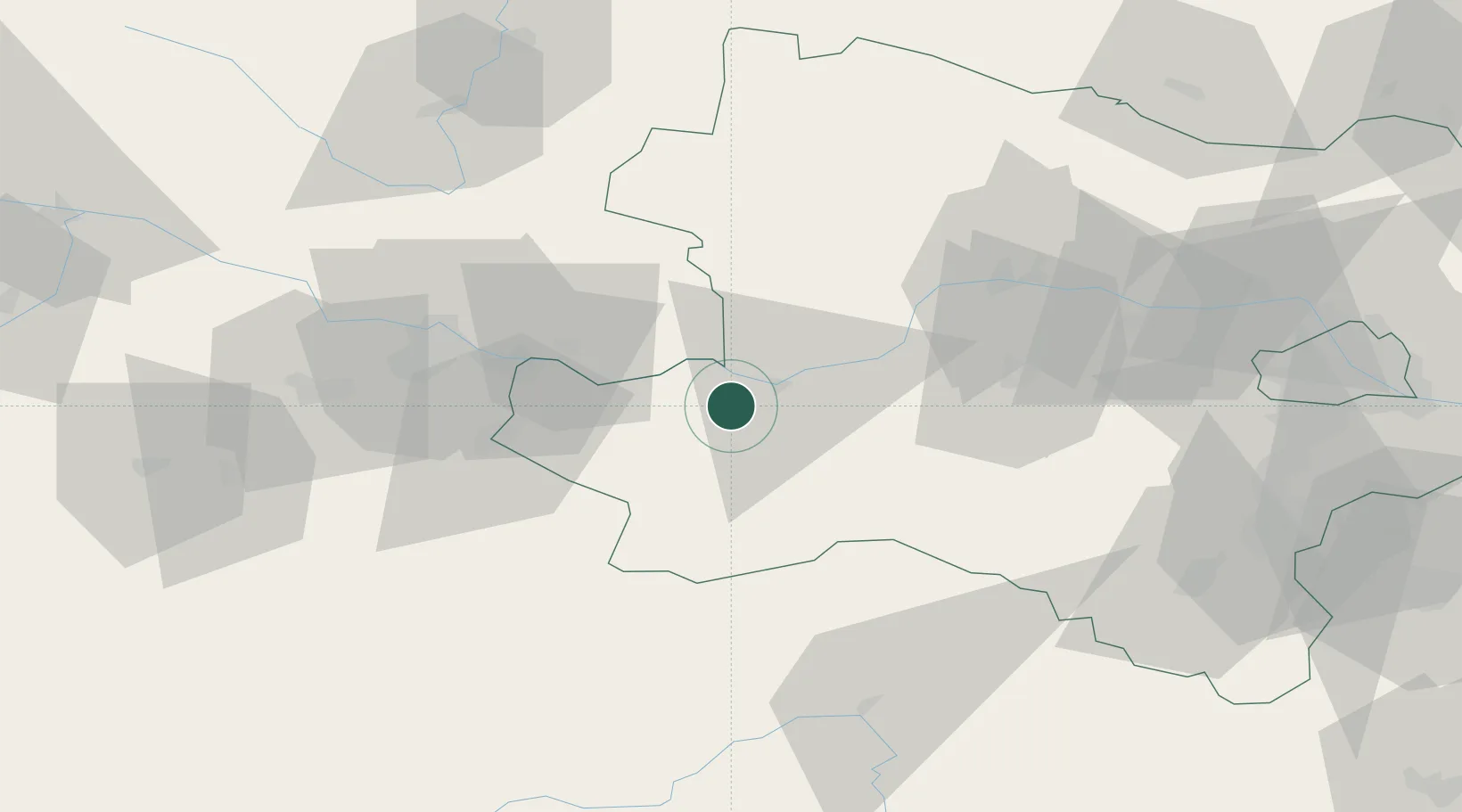
Hub Profile
Place type
District seat
Region
Lower Austria
Population
2,712
Time zone
Europe/Vienna
Elevation
246 m
Location
Nearby Logistics Neighbours
Cities
- 1Weins8 km
- 2Persenbeug8 km
- 3Petzenkirchen12 km
- 4Sankt Nikola an der Donau13 km
- 5Neuhofen an der Ybbs14 km
Ports
- 1Monfalcone283 km
- 2Trieste292 km
- 3Muggia297 km
- 4Nogaro298 km
- 5Grado300 km
Airports
Trade Zones
DatabookThe Record of Consolidated Knowledge
Austria beyond logistics?