Transport Functions
Port
Rail
Road
Hub Profile
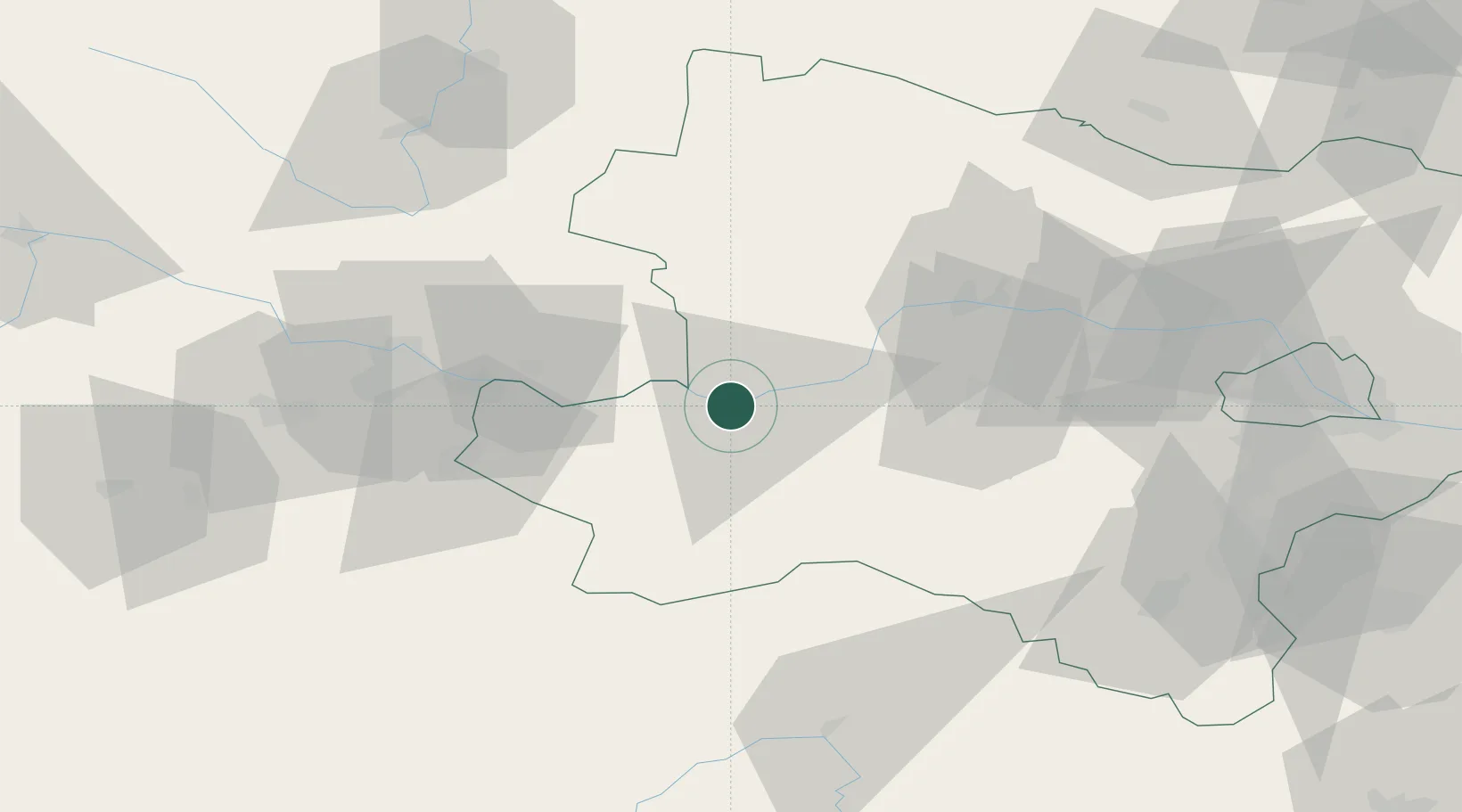
Place type
Populated place
Region
Lower Austria
Population
1,303
Time zone
Europe/Vienna
Elevation
225 m
Location
Nearby Logistics Neighbours
Cities
- 1Weins4 km
- 2Granz7 km
- 3Marbach an der Donau7 km
- 4Krummnussbaum8 km
- 5Petzenkirchen8 km
Ports
- 1Monfalcone291 km
- 2Trieste299 km
- 3Muggia304 km
- 4Nogaro306 km
- 5Grado307 km
Airports
Trade Zones
DatabookThe Record of Consolidated Knowledge
Austria beyond logistics?