Transport Functions
Multimodal
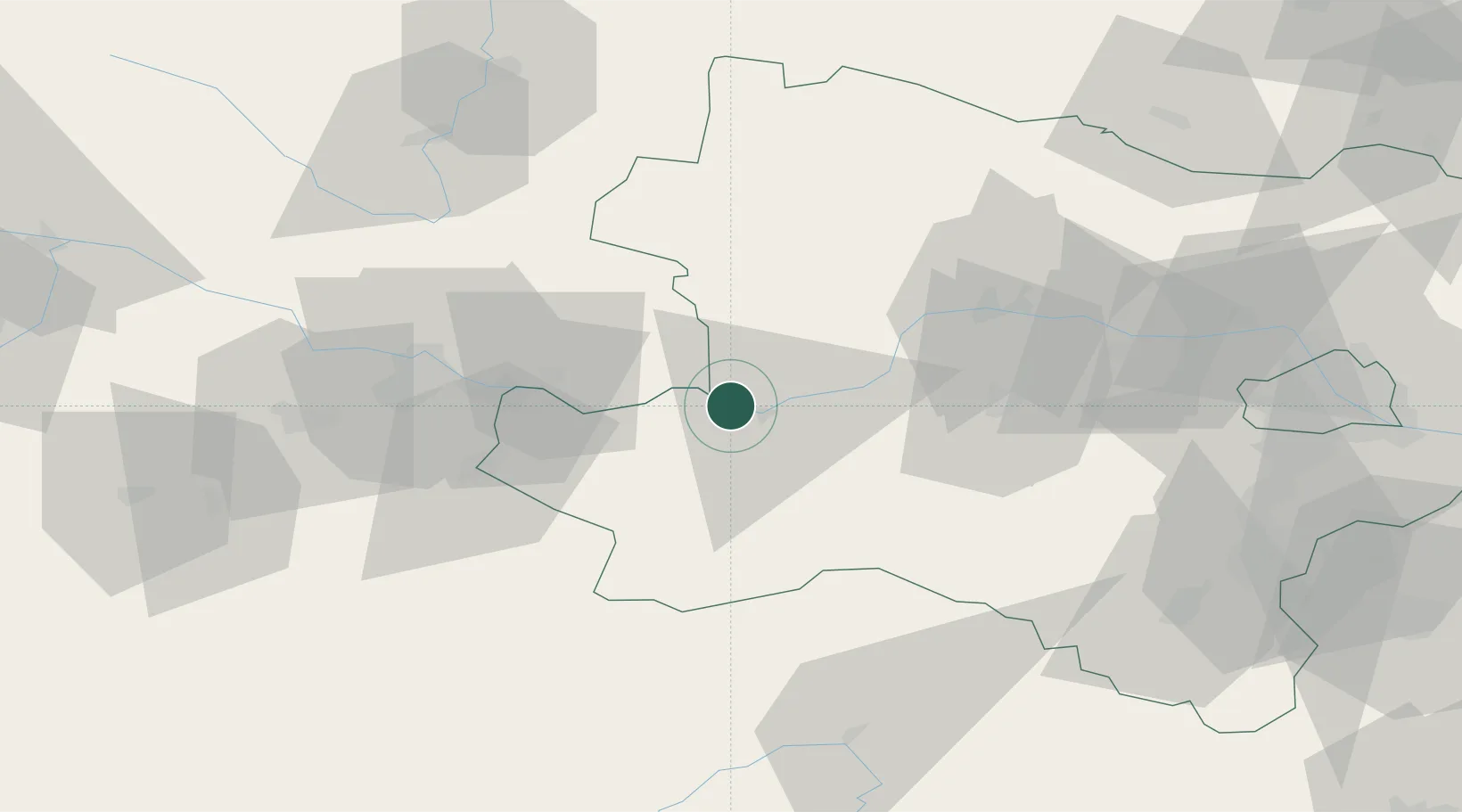
Hub Profile
Place type
Populated place
Region
Lower Austria
Population
328
Time zone
Europe/Vienna
Elevation
242 m
Location
Nearby Logistics Neighbours
Cities
- 1Persenbeug4 km
- 2Blindenmarkt8 km
- 3Sankt Nikola an der Donau9 km
- 4Granz10 km
- 5Marbach an der Donau10 km
Ports
- 1Monfalcone291 km
- 2Trieste299 km
- 3Muggia304 km
- 4Nogaro306 km
- 5Grado307 km
Airports
Trade Zones
DatabookThe Record of Consolidated Knowledge
Austria beyond logistics?