Transport Functions
Port
Multimodal
Hub Profile
Region
4
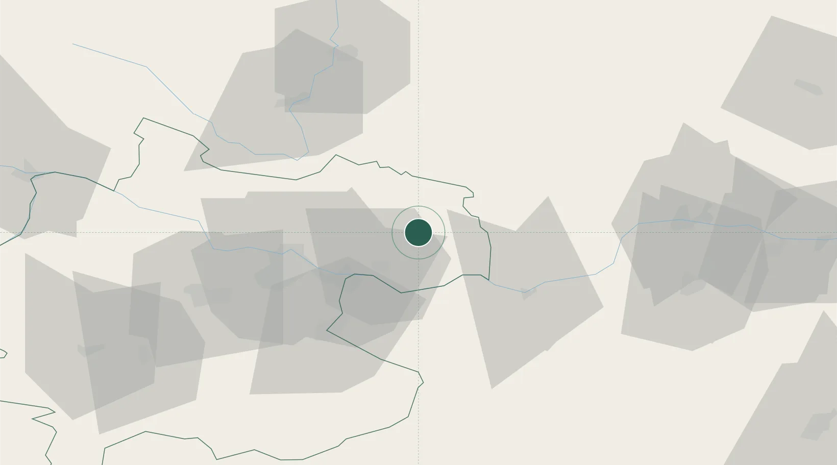
Location
Nearby Logistics Neighbours
Cities
- 1Pregarten16 km
- 2Lasberg17 km
- 3Ering19 km
- 4Baumgartenberg19 km
- 5Arbing19 km
Ports
- 1Monfalcone303 km
- 2Trieste313 km
- 3Nogaro315 km
- 4Grado318 km
- 5Muggia318 km
Airports
Trade Zones
DatabookThe Record of Consolidated Knowledge
Austria beyond logistics?