Transport Functions
Rail
Road
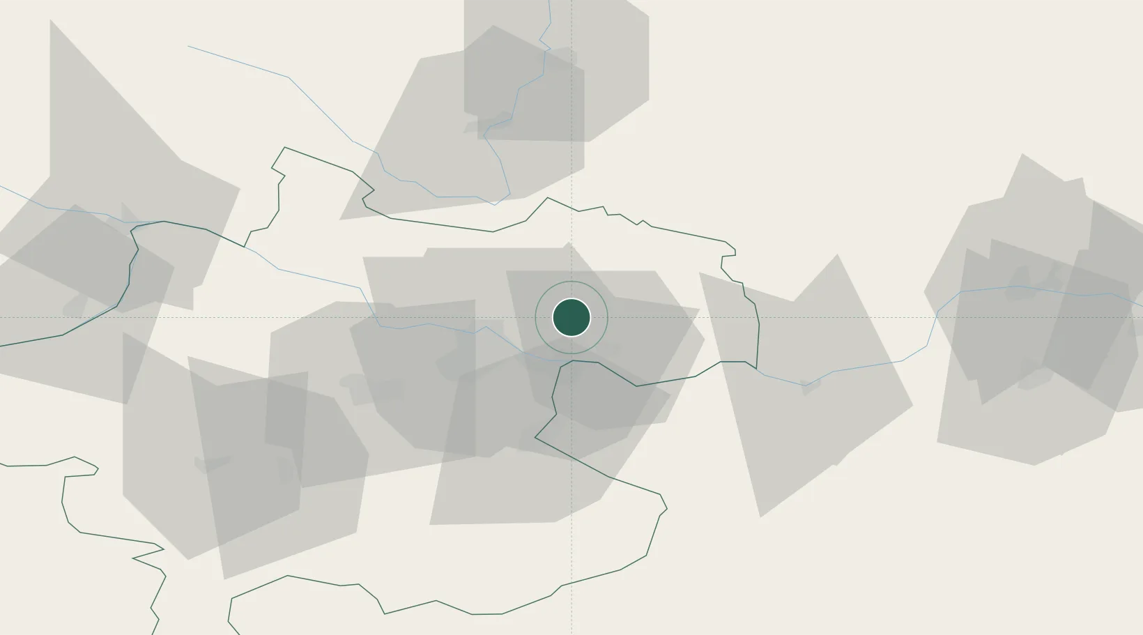
Hub Profile
Place type
District seat
Region
Upper Austria
Population
2,846
Time zone
Europe/Vienna
Elevation
423 m
Location
Nearby Logistics Neighbours
Cities
- 1Engerwitzdorf5 km
- 2Ering6 km
- 3Gallneukirchen7 km
- 4Neumarkt im Mühlkreis8 km
- 5Abwinden11 km
Ports
- 1Monfalcone295 km
- 2Nogaro306 km
- 3Trieste306 km
- 4Grado309 km
- 5Muggia311 km
Airports
- 1Linz-Hörsching Airport27 km
- 2České Budějovice South Bohemian Airport67 km
- 3Salzburg Airport128 km
- 4Hinterstoisser Air Base129 km
- 5Wiener Neustadt West Airport139 km
Trade Zones
DatabookThe Record of Consolidated Knowledge
Austria beyond logistics?