Transport Functions
Rail
Road
Hub Profile
Place type
Populated place
Region
Upper Austria
Population
974
Time zone
Europe/Vienna
Elevation
572 m
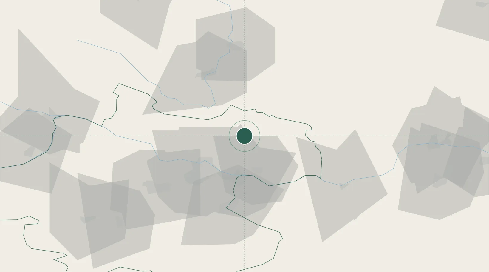
Location
Nearby Logistics Neighbours
Cities
- 1Neumarkt im Mühlkreis7 km
- 2Waldburg bei Freistadt8 km
- 3Rainbach im Mühlkreis11 km
- 4Pregarten13 km
- 5Engerwitzdorf14 km
Ports
- 1Monfalcone308 km
- 2Nogaro318 km
- 3Trieste319 km
- 4Grado322 km
- 5Muggia324 km
Airports
- 1Linz-Hörsching Airport36 km
- 2České Budějovice South Bohemian Airport54 km
- 3Salzburg Airport136 km
- 4Náměšť Air Base140 km
- 5Hinterstoisser Air Base141 km
Trade Zones
DatabookThe Record of Consolidated Knowledge
Austria beyond logistics?