Transport Functions
Port
Hub Profile
Place type
Local administrative seat
Region
Bavaria
Population
1,885
Time zone
Europe/Berlin
Elevation
343 m
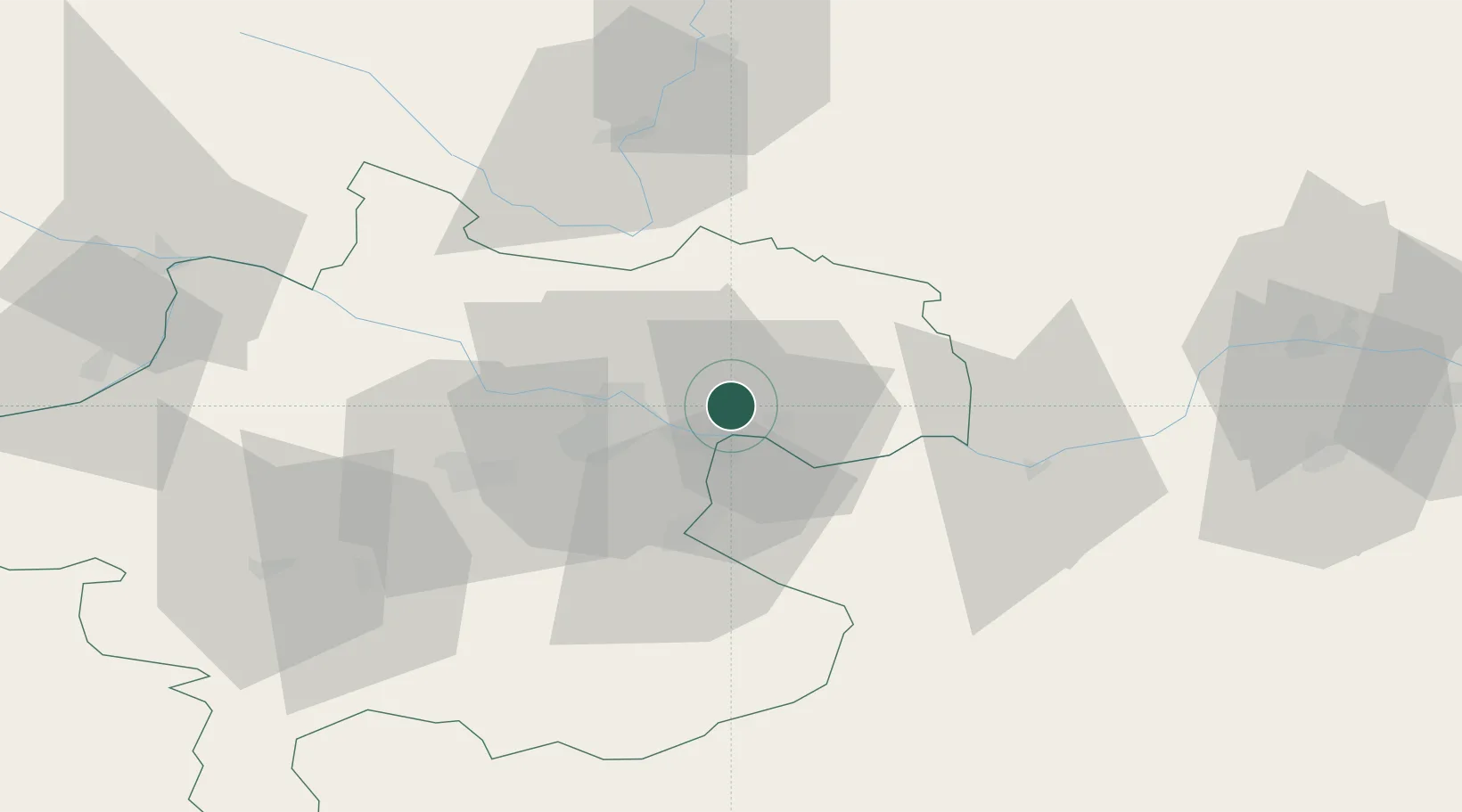
Location
Nearby Logistics Neighbours
Cities
- 1Pregarten6 km
- 2Abwinden7 km
- 3Engerwitzdorf7 km
- 4Gallneukirchen9 km
- 5Steyregg11 km
Ports
- 1Monfalcone289 km
- 2Trieste300 km
- 3Nogaro301 km
- 4Grado304 km
- 5Muggia306 km
Airports
- 1Linz-Hörsching Airport25 km
- 2České Budějovice South Bohemian Airport72 km
- 3Hinterstoisser Air Base123 km
- 4Salzburg Airport126 km
- 5Wiener Neustadt West Airport137 km
Trade Zones
DatabookThe Record of Consolidated Knowledge
Germany beyond logistics?