UN/LOCODE hub · Austria
ATSKH

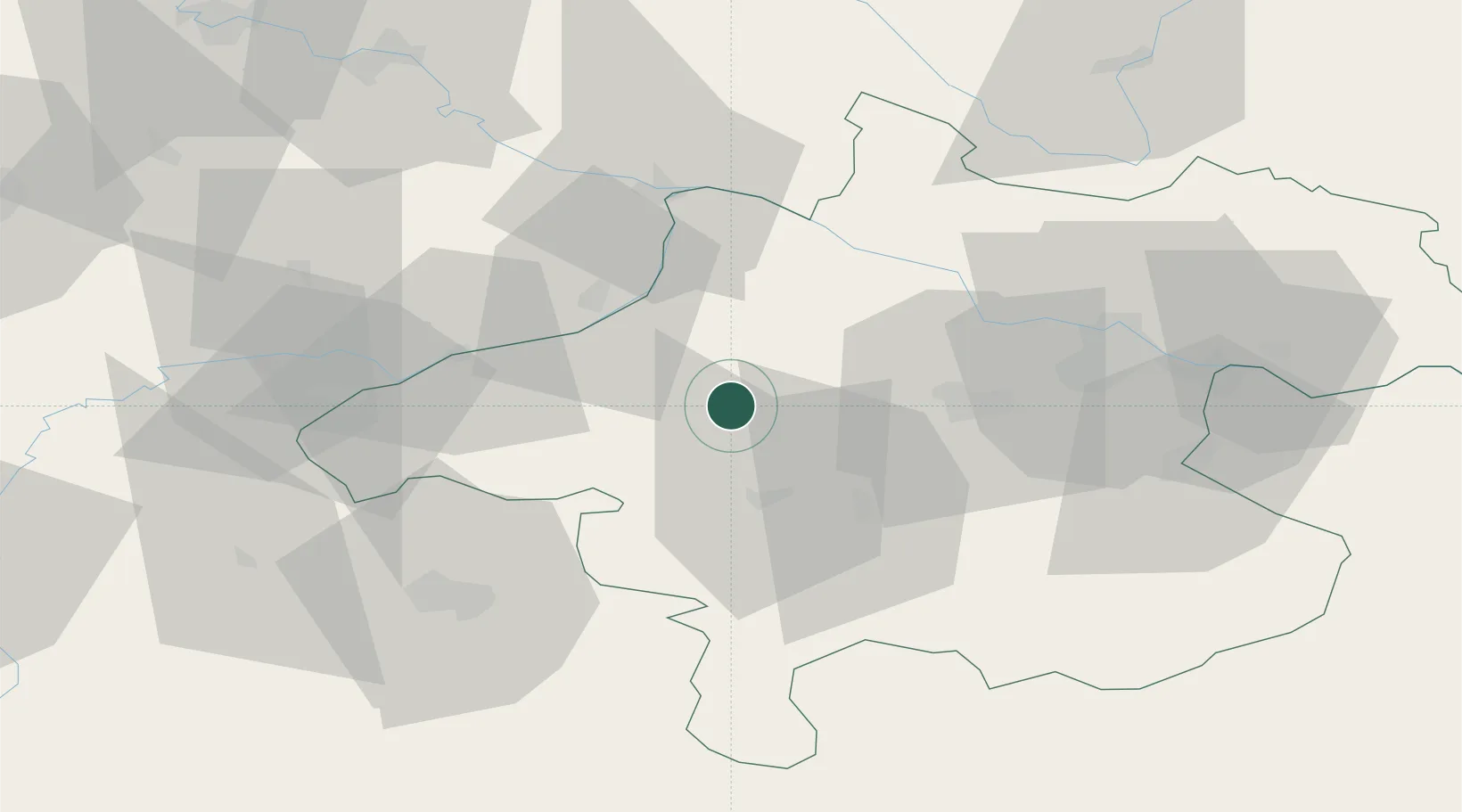
Sankt Marienkirchen am Hausruck

48.1667°, 13.5667°
292
Population
1
Transport functions

Transport Functions

Multimodal
UN/LOCODE

Hub Profile

Place type
Populated place
GeoNames
Region
Upper Austria
GeoNames
Population
292
GeoNames
Time zone
Europe/Vienna
GeoNames
Elevation
518 m
GeoNames

Location

Location of ATSKH
Natural Earth 10m (public domain) · Upper Austria · ATSKH · 48.17, 13.57GoogleOSMYandex

Nearby Logistics Neighbours

Cities
  1. 1Hohenzell3 km
  2. 2Haag am Hausruck5 km
  3. 3Ampflwang im Hausruckwald7 km
  4. 4Wendling11 km
  5. 5Ottnang am Hausruck11 km
Nearest neighbours — logibook spatial index (haversine) over the source coordinates
Ports
  1. 1Monfalcone265 km
  2. 2Nogaro269 km
  3. 3Grado275 km
  4. 4Trieste280 km
  5. 5Muggia286 km
Nearest neighbours — logibook spatial index (haversine) over the source coordinates
Airports
  1. 1Linz-Hörsching Airport47 km
  2. 2Salzburg Airport59 km
  3. 3České Budějovice South Bohemian Airport108 km
  4. 4Landshut Airfield120 km
  5. 5Munich Airport133 km
Nearest neighbours — logibook spatial index (haversine) over the source coordinates
Trade Zones
  1. 1Freeport of Deggendorf90 km
  2. 2Světlá nad Sázavou Municipal Industrial Zone215 km
  3. 3Podbořany Industrial Zone230 km
  4. 4Industrial Zone Kutna Hora233 km
  5. 5Kolín - Ovčáry Industrial Zone244 km
Nearest neighbours — logibook spatial index (haversine) over the source coordinates
DatabookThe Record of Consolidated Knowledge
Austria beyond logistics?
Browse databook

All Sources

LocationsUN/LOCODE
UN/LOCODE — free
LocationsGeoNames
CC BY 4.0
Portsthe NGA World Port Index
Public domain (US gov)
AirportsOurAirports
Public domain
Trade Zonesthe World Bank SEZ database
CC BY 4.0
Trade ZonesOpen Zone Map
CC BY
← Austria locations