Transport Functions
Rail
Road
Multimodal
Hub Profile
Region
4
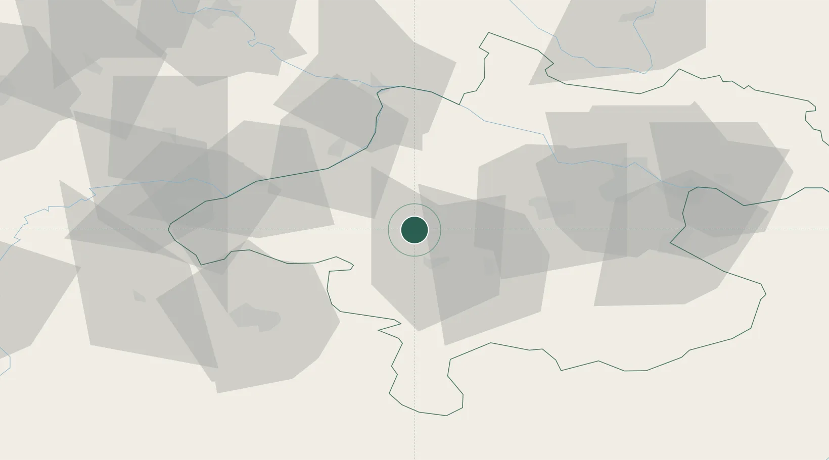
Location
Nearby Logistics Neighbours
Cities
- 1Ottnang am Hausruck7 km
- 2Sankt Marienkirchen am Hausruck7 km
- 3Manning8 km
- 4Hohenzell10 km
- 5Haag am Hausruck11 km
Ports
- 1Monfalcone258 km
- 2Nogaro262 km
- 3Grado268 km
- 4Trieste273 km
- 5Muggia278 km
Airports
- 1Linz-Hörsching Airport49 km
- 2Salzburg Airport54 km
- 3České Budějovice South Bohemian Airport114 km
- 4Landshut Airfield122 km
- 5Hinterstoisser Air Base133 km
Trade Zones
DatabookThe Record of Consolidated Knowledge
Austria beyond logistics?