UN/LOCODE hub · Austria
ATOAH
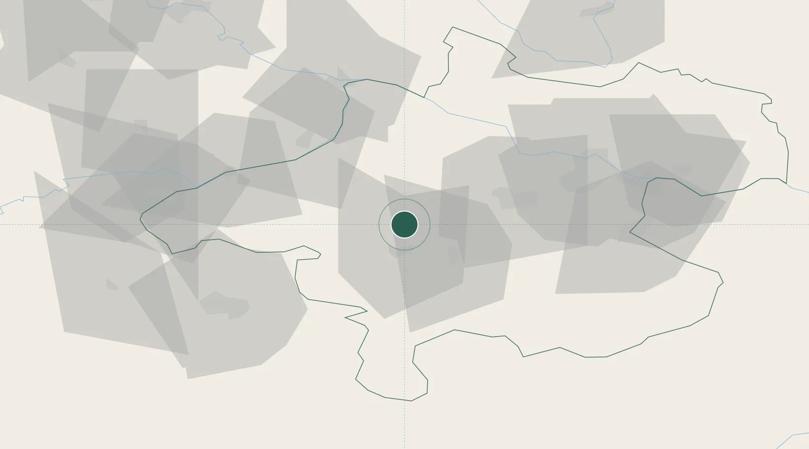
Ottnang am Hausruck
48.0833°, 13.6500°
1,003
Population
1
Transport functions
Transport Functions
Multimodal
Hub Profile
Place type
District seat
Region
Upper Austria
Population
1,003
Time zone
Europe/Vienna
Elevation
525 m
Location
Nearby Logistics Neighbours
Cities
- 1Manning1 km
- 2Ampflwang im Hausruckwald7 km
- 3Gaspoltshofen8 km
- 4Timelkam10 km
- 5Attnang-Puchheim11 km
Ports
- 1Monfalcone256 km
- 2Nogaro261 km
- 3Grado267 km
- 4Trieste271 km
- 5Muggia276 km
Airports
- 1Linz-Hörsching Airport43 km
- 2Salzburg Airport58 km
- 3České Budějovice South Bohemian Airport112 km
- 4Hinterstoisser Air Base128 km
- 5Landshut Airfield129 km
Trade Zones
DatabookThe Record of Consolidated Knowledge
Austria beyond logistics?