Transport Functions
Road
Multimodal
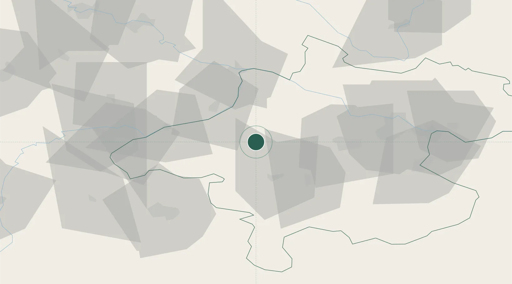
Hub Profile
Place type
Populated place
Region
Upper Austria
Population
435
Time zone
Europe/Vienna
Elevation
484 m
Location
Nearby Logistics Neighbours
Cities
- 1Sankt Marienkirchen am Hausruck3 km
- 2Haag am Hausruck7 km
- 3Ampflwang im Hausruckwald10 km
- 4Aurolzmünster10 km
- 5Kirchheim im Innkreis11 km
Ports
- 1Monfalcone267 km
- 2Nogaro271 km
- 3Grado277 km
- 4Trieste282 km
- 5Muggia288 km
Airports
- 1Linz-Hörsching Airport49 km
- 2Salzburg Airport59 km
- 3České Budějovice South Bohemian Airport108 km
- 4Landshut Airfield117 km
- 5Munich Airport131 km
Trade Zones
DatabookThe Record of Consolidated Knowledge
Austria beyond logistics?