UN/LOCODE hub · Austria
ATHAH
Haag am Hausruck
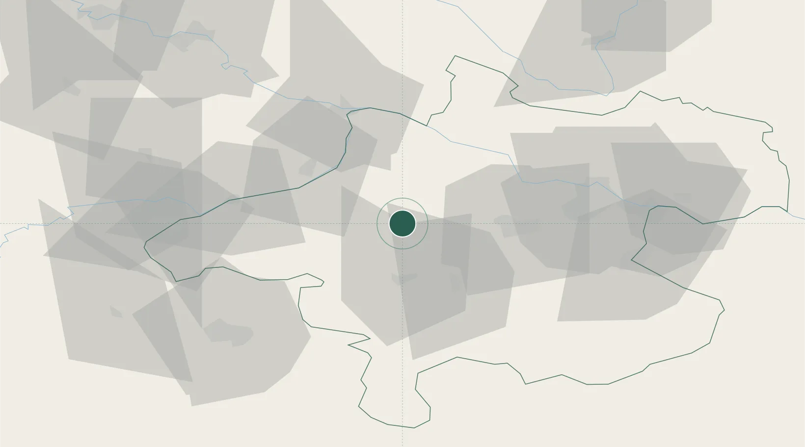
48.1833°, 13.6333°
1,144
Population
1
Transport functions
Transport Functions
Multimodal
Hub Profile
Place type
District seat
Region
Upper Austria
Population
1,144
Time zone
Europe/Vienna
Elevation
501 m
Location
Nearby Logistics Neighbours
Cities
- 1Sankt Marienkirchen am Hausruck5 km
- 2Wendling6 km
- 3Hohenzell7 km
- 4Hofkirchen an der Trattnach8 km
- 5Gaspoltshofen9 km
Ports
- 1Monfalcone267 km
- 2Nogaro272 km
- 3Grado278 km
- 4Trieste282 km
- 5Muggia287 km
Airports
- 1Linz-Hörsching Airport42 km
- 2Salzburg Airport64 km
- 3České Budějovice South Bohemian Airport103 km
- 4Landshut Airfield124 km
- 5Hinterstoisser Air Base137 km
Trade Zones
DatabookThe Record of Consolidated Knowledge
Austria beyond logistics?