Transport Functions
Multimodal
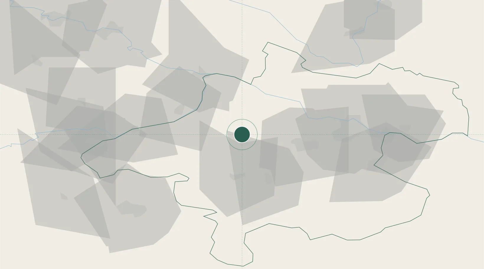
Hub Profile
Place type
District seat
Region
Upper Austria
Population
372
Time zone
Europe/Vienna
Elevation
409 m
Location
Nearby Logistics Neighbours
Cities
- 1Neumarkt im Hausruckkreis5 km
- 2Hofkirchen an der Trattnach5 km
- 3Haag am Hausruck6 km
- 4Sankt Marienkirchen am Hausruck11 km
- 5Hohenzell11 km
Ports
- 1Monfalcone273 km
- 2Nogaro278 km
- 3Grado283 km
- 4Trieste287 km
- 5Muggia293 km
Airports
- 1Linz-Hörsching Airport39 km
- 2Salzburg Airport69 km
- 3České Budějovice South Bohemian Airport97 km
- 4Landshut Airfield124 km
- 5Munich Airport140 km
Trade Zones
DatabookThe Record of Consolidated Knowledge
Austria beyond logistics?