Transport Functions
Port
Multimodal
Hub Profile
Place type
Populated place
Region
Upper Austria
Time zone
Europe/Vienna
Elevation
387 m
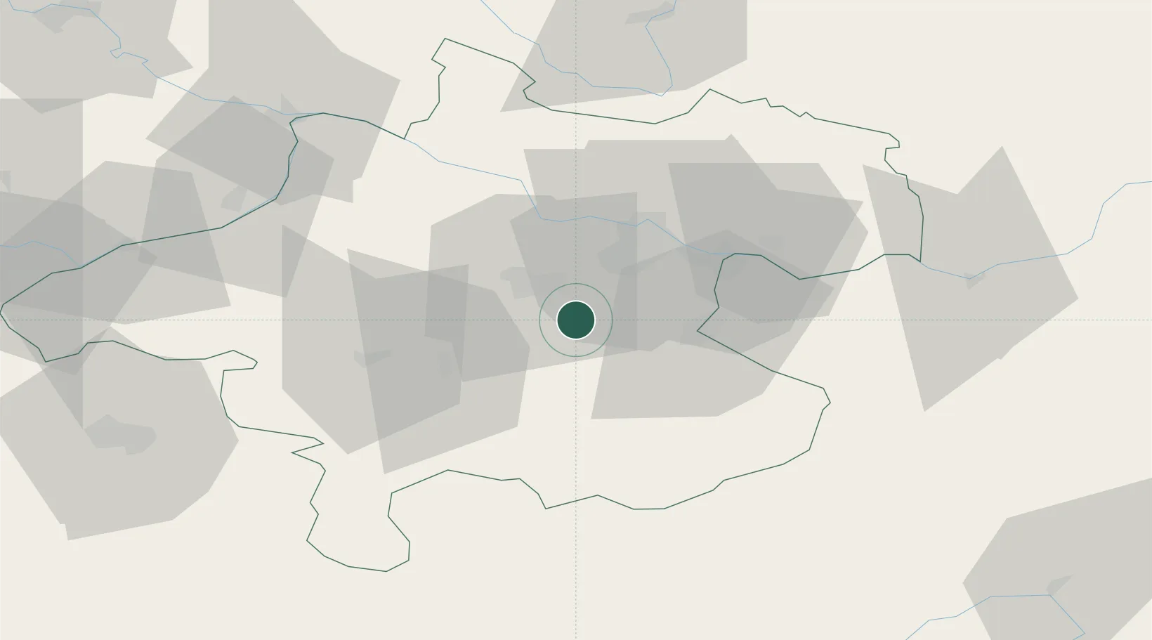
Location
Nearby Logistics Neighbours
Cities
- 1Sattledt5 km
- 2Steinhaus9 km
- 3Thalheim bei Wels11 km
- 4Merchtrenk11 km
- 5Wels12 km
Ports
- 1Monfalcone260 km
- 2Nogaro269 km
- 3Trieste272 km
- 4Grado273 km
- 5Muggia278 km
Airports
- 1Linz-Hörsching Airport17 km
- 2Salzburg Airport90 km
- 3České Budějovice South Bohemian Airport99 km
- 4Hinterstoisser Air Base108 km
- 5Graz Airport156 km
Trade Zones
DatabookThe Record of Consolidated Knowledge
Austria beyond logistics?