Transport Functions
Rail
Road
Hub Profile
Place type
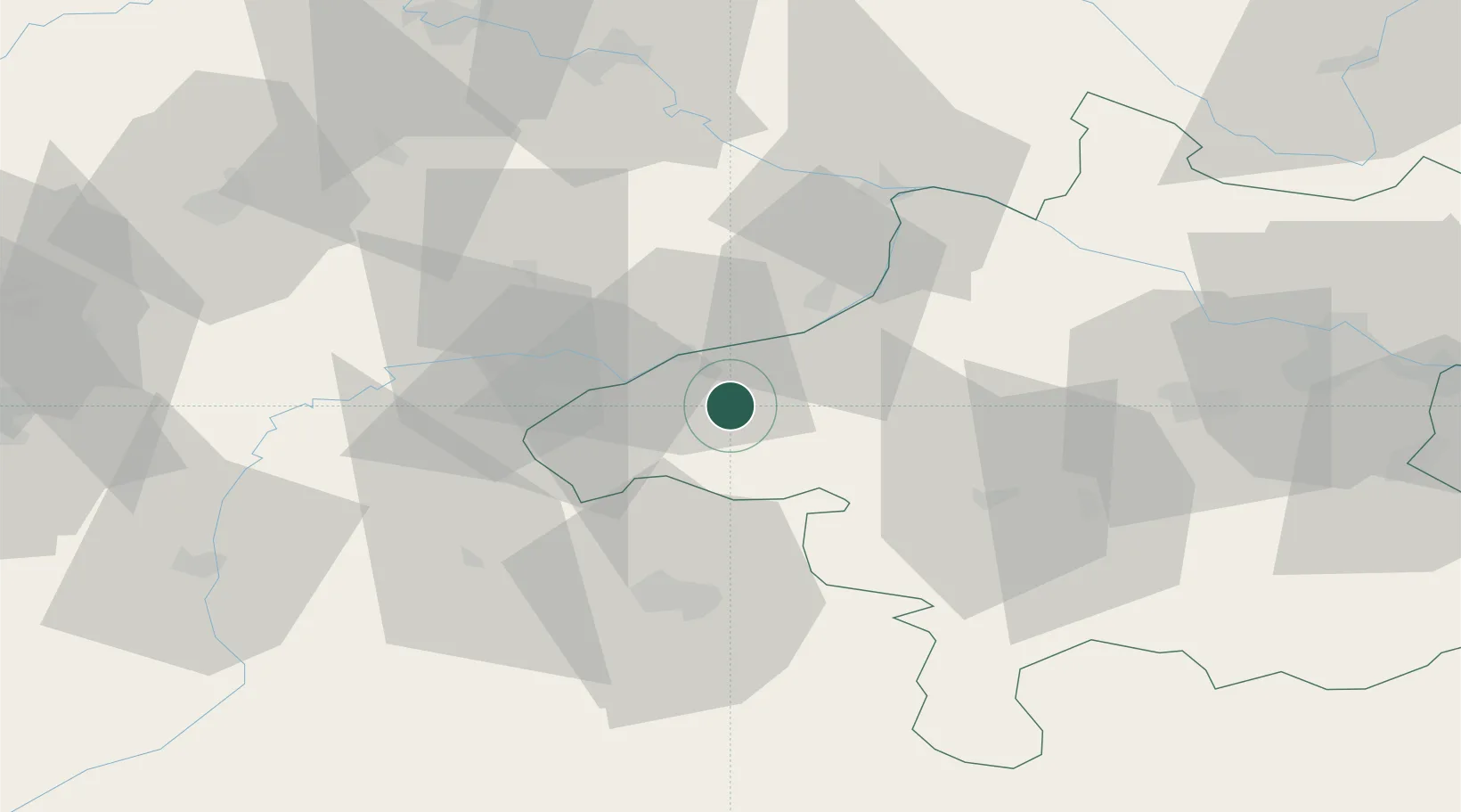
Populated place
Region
Upper Austria
Population
157
Time zone
Europe/Vienna
Elevation
410 m
Location
Nearby Logistics Neighbours
Cities
- 1Braunau am Inn12 km
- 2Ranshofen12 km
- 3Geinberg14 km
- 4Mühlheim14 km
- 5Kirchdorf am Inn15 km
Ports
- 1Monfalcone267 km
- 2Nogaro268 km
- 3Grado275 km
- 4Trieste284 km
- 5Muggia289 km
Airports
- 1Salzburg Airport43 km
- 2Linz-Hörsching Airport79 km
- 3Landshut Airfield90 km
- 4Munich Airport102 km
- 5České Budějovice South Bohemian Airport129 km
Trade Zones
DatabookThe Record of Consolidated Knowledge
Austria beyond logistics?