Transport Functions
Rail
Road
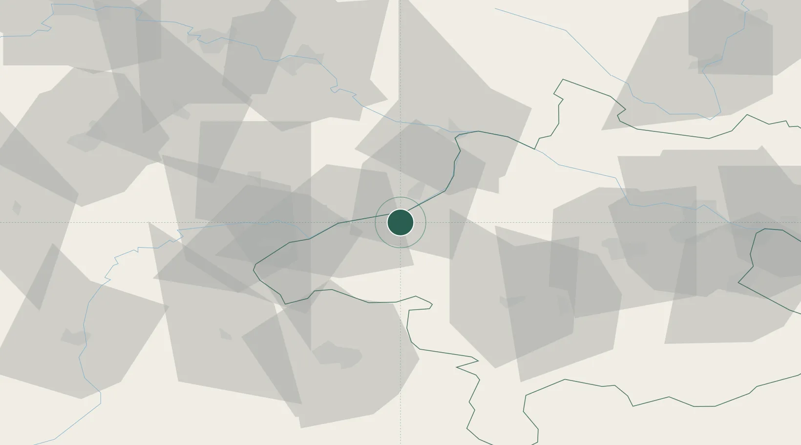
Hub Profile
Place type
Populated place
Region
Upper Austria
Population
697
Time zone
Europe/Vienna
Elevation
402 m
Location
Nearby Logistics Neighbours
Cities
- 1Mühlheim3 km
- 2Kirchheim im Innkreis12 km
- 3Stubenberg14 km
- 4Sankt Martin im Innkreis14 km
- 5Ort im Innkreis14 km
Ports
- 1Monfalcone277 km
- 2Nogaro279 km
- 3Grado286 km
- 4Trieste293 km
- 5Muggia299 km
Airports
- 1Salzburg Airport56 km
- 2Linz-Hörsching Airport70 km
- 3Landshut Airfield94 km
- 4Munich Airport109 km
- 5České Budějovice South Bohemian Airport115 km
Trade Zones
DatabookThe Record of Consolidated Knowledge
Austria beyond logistics?