Transport Functions
Rail
Road
Hub Profile
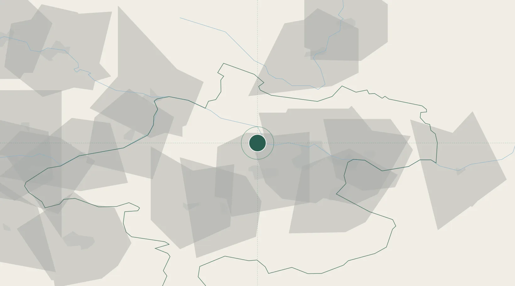
Place type
Populated place
Region
Upper Austria
Population
136
Time zone
Europe/Vienna
Elevation
272 m
Location
Nearby Logistics Neighbours
Cities
- 1Hartkirchen2 km
- 2Ottensheim14 km
- 3Oftering15 km
- 4Krenglbach15 km
- 5Neufelden17 km
Ports
- 1Monfalcone286 km
- 2Nogaro293 km
- 3Grado298 km
- 4Trieste299 km
- 5Muggia304 km
Airports
- 1Linz-Hörsching Airport18 km
- 2České Budějovice South Bohemian Airport75 km
- 3Salzburg Airport95 km
- 4Hinterstoisser Air Base138 km
- 5Landshut Airfield146 km
Trade Zones
DatabookThe Record of Consolidated Knowledge
Austria beyond logistics?