Transport Functions
Rail
Road
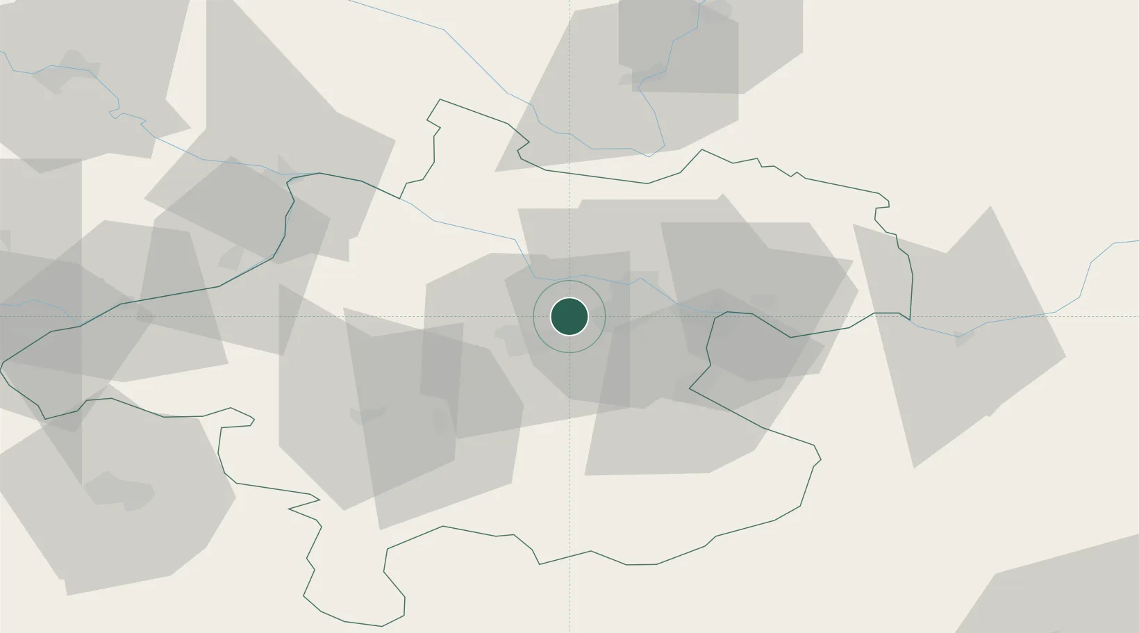
Hub Profile
Place type
Populated place
Region
Upper Austria
Population
508
Time zone
Europe/Vienna
Elevation
309 m
Location
Nearby Logistics Neighbours
Cities
- 1Hörsching4 km
- 2Merchtrenk6 km
- 3Wels11 km
- 4Ansfelden12 km
- 5Ottensheim12 km
Ports
- 1Monfalcone276 km
- 2Nogaro285 km
- 3Trieste289 km
- 4Grado289 km
- 5Muggia294 km
Airports
- 1Linz-Hörsching Airport4 km
- 2České Budějovice South Bohemian Airport82 km
- 3Salzburg Airport97 km
- 4Hinterstoisser Air Base123 km
- 5Landshut Airfield158 km
Trade Zones
DatabookThe Record of Consolidated Knowledge
Austria beyond logistics?