Transport Functions
Port
Rail
Road
Hub Profile
Place type
Populated place
Region
Upper Austria
Population
940
Time zone
Europe/Vienna
Elevation
527 m
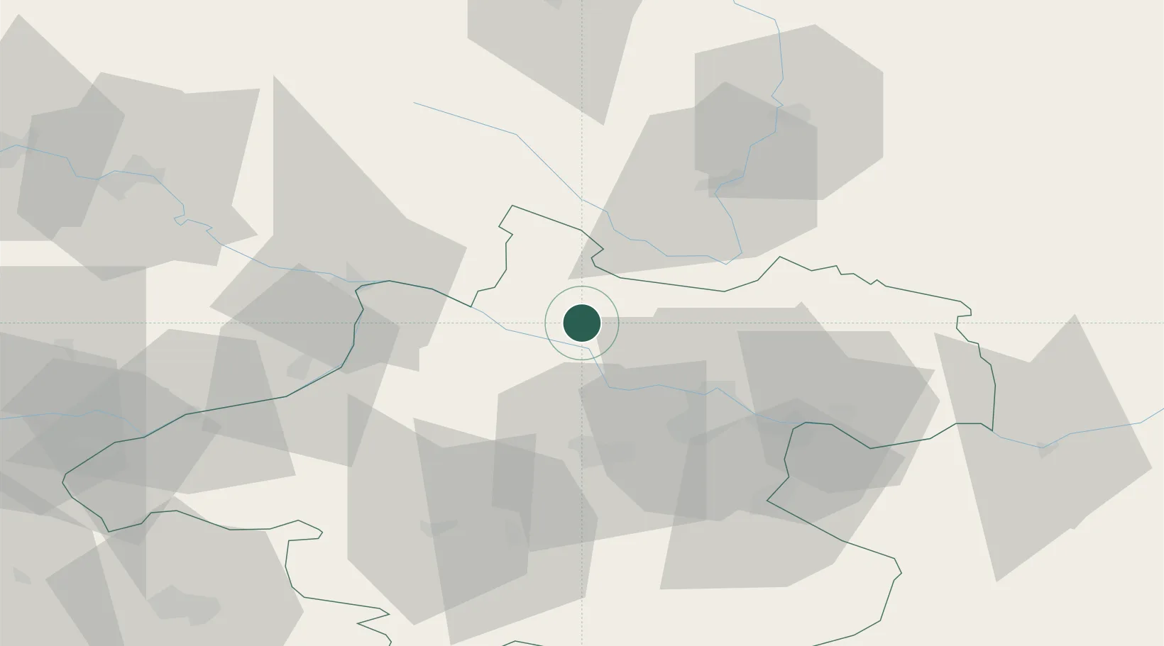
Location
Nearby Logistics Neighbours
Cities
- 1Aigen6 km
- 2Lembach7 km
- 3Sankt Veit im Mühlkreis12 km
- 4Niederranna14 km
- 5Hartkirchen15 km
Ports
- 1Monfalcone302 km
- 2Nogaro309 km
- 3Grado314 km
- 4Trieste316 km
- 5Muggia321 km
Airports
- 1Linz-Hörsching Airport32 km
- 2České Budějovice South Bohemian Airport61 km
- 3Salzburg Airport106 km
- 4Plzeň-Líně Airport142 km
- 5Landshut Airfield144 km
Trade Zones
DatabookThe Record of Consolidated Knowledge
Austria beyond logistics?