Transport Functions
Port
Rail
Road
Hub Profile
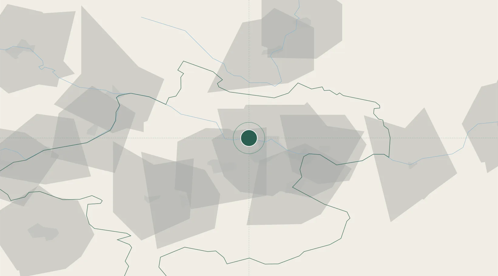
Place type
District seat
Region
Upper Austria
Population
3,228
Time zone
Europe/Vienna
Elevation
269 m
Location
Nearby Logistics Neighbours
Cities
- 1Linz10 km
- 2Hörsching11 km
- 3Oftering12 km
- 4Pupping14 km
- 5Hartkirchen14 km
Ports
- 1Monfalcone288 km
- 2Nogaro296 km
- 3Trieste300 km
- 4Grado301 km
- 5Muggia306 km
Airports
- 1Linz-Hörsching Airport11 km
- 2České Budějovice South Bohemian Airport71 km
- 3Salzburg Airport106 km
- 4Hinterstoisser Air Base133 km
- 5Landshut Airfield160 km
Trade Zones
DatabookThe Record of Consolidated Knowledge
Austria beyond logistics?