Transport Functions
Rail
Road
Hub Profile
Place type
Populated place
Region
Upper Austria
Population
583
Time zone
Europe/Vienna
Elevation
309 m
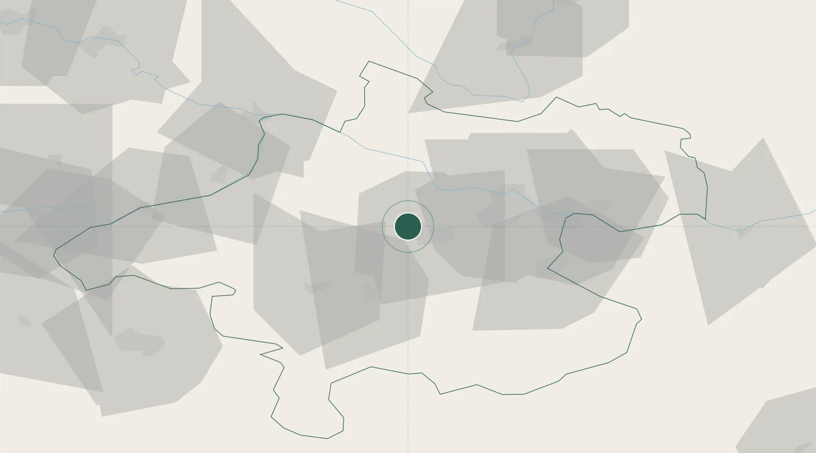
Location
Nearby Logistics Neighbours
Cities
- 1Pichl bei Wels4 km
- 2Wels7 km
- 3Thalheim bei Wels8 km
- 4Steinhaus11 km
- 5Merchtrenk11 km
Ports
- 1Monfalcone270 km
- 2Nogaro278 km
- 3Grado283 km
- 4Trieste284 km
- 5Muggia289 km
Airports
- 1Linz-Hörsching Airport18 km
- 2Salzburg Airport84 km
- 3České Budějovice South Bohemian Airport90 km
- 4Hinterstoisser Air Base126 km
- 5Landshut Airfield146 km
Trade Zones
DatabookThe Record of Consolidated Knowledge
Austria beyond logistics?