Transport Functions
Multimodal
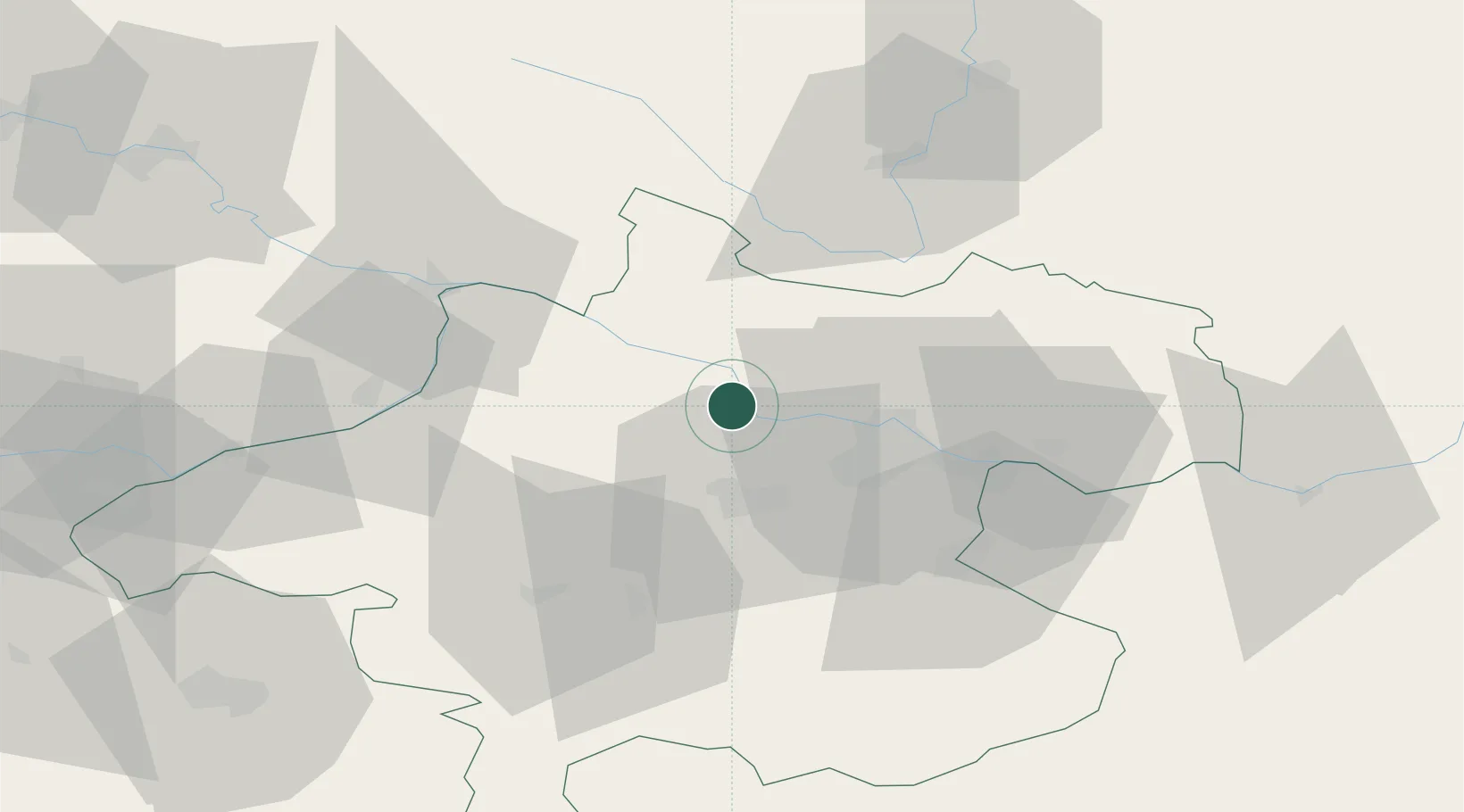
Hub Profile
Place type
Populated place
Region
Upper Austria
Population
1,120
Time zone
Europe/Vienna
Elevation
271 m
Location
Nearby Logistics Neighbours
Cities
- 1Pupping2 km
- 2Ottensheim14 km
- 3Neufelden15 km
- 4Oftering16 km
- 5Sankt Veit im Mühlkreis17 km
Ports
- 1Monfalcone287 km
- 2Nogaro295 km
- 3Grado300 km
- 4Trieste301 km
- 5Muggia306 km
Airports
- 1Linz-Hörsching Airport19 km
- 2České Budějovice South Bohemian Airport74 km
- 3Salzburg Airport97 km
- 4Hinterstoisser Air Base139 km
- 5Landshut Airfield146 km
Trade Zones
DatabookThe Record of Consolidated Knowledge
Austria beyond logistics?