Transport Functions
Port
Multimodal
Hub Profile
Region
1
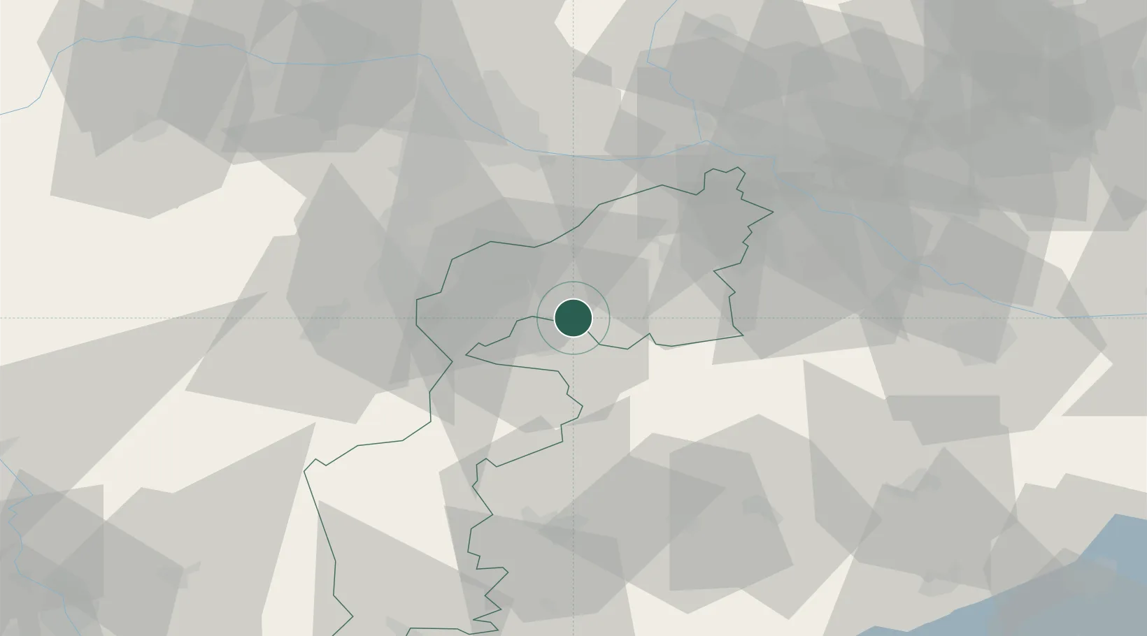
Location
Nearby Logistics Neighbours
Cities
- 1Oggau9 km
- 2Schutzen am Gebirge12 km
- 3Agfalva13 km
- 4Wulkaprodersdorf14 km
- 5Stottera15 km
Ports
- 1Bakar318 km
- 2Rijeka Luka318 km
- 3Trieste323 km
- 4Monfalcone323 km
- 5Omisalj325 km
Airports
Trade Zones
- 1Veselí nad Moravou Industrial Zone144 km
- 2Černovická Terasa Industrial Zone158 km
- 3Sjever Free Zone164 km
- 4Holešov Industrial Zone187 km
- 5Göd Special Economic Zone187 km
DatabookThe Record of Consolidated Knowledge
Austria beyond logistics?