UN/LOCODE hub · Austria
ATPAS
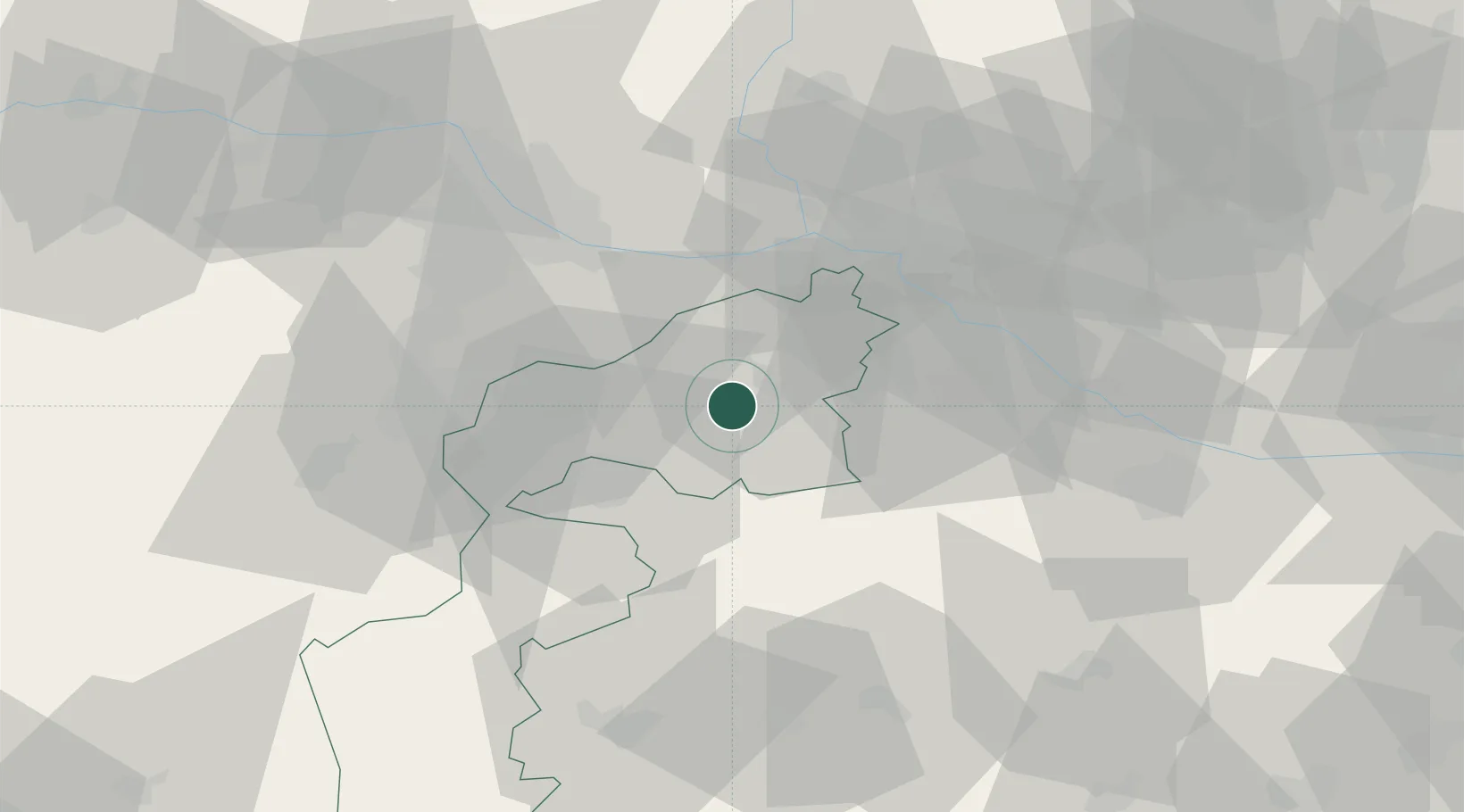
Podersdorf am See
47.8500°, 16.8333°
2,135
Population
2
Transport functions
Transport Functions
Port
Road
Hub Profile
Place type
District seat
Region
Burgenland
Population
2,135
Time zone
Europe/Vienna
Elevation
120 m
Location
Nearby Logistics Neighbours
Cities
- 1Gols8 km
- 2Frauenkirchen8 km
- 3Mönchhof10 km
- 4Oggau13 km
- 5Jois13 km
Ports
- 1Bakar334 km
- 2Rijeka Luka335 km
- 3Trieste339 km
- 4Monfalcone339 km
- 5Omisalj341 km
Airports
Trade Zones
- 1Veselí nad Moravou Industrial Zone129 km
- 2Černovická Terasa Industrial Zone148 km
- 3Holešov Industrial Zone172 km
- 4Göd Special Economic Zone176 km
- 5Sjever Free Zone177 km
DatabookThe Record of Consolidated Knowledge
Austria beyond logistics?