Transport Functions
Rail
Road
Airport
Hub Profile
Place type
Regional capital
Region
Upper Austria
Population
204,846
Time zone
Europe/Vienna
Elevation
266 m
Logistics facilities
6
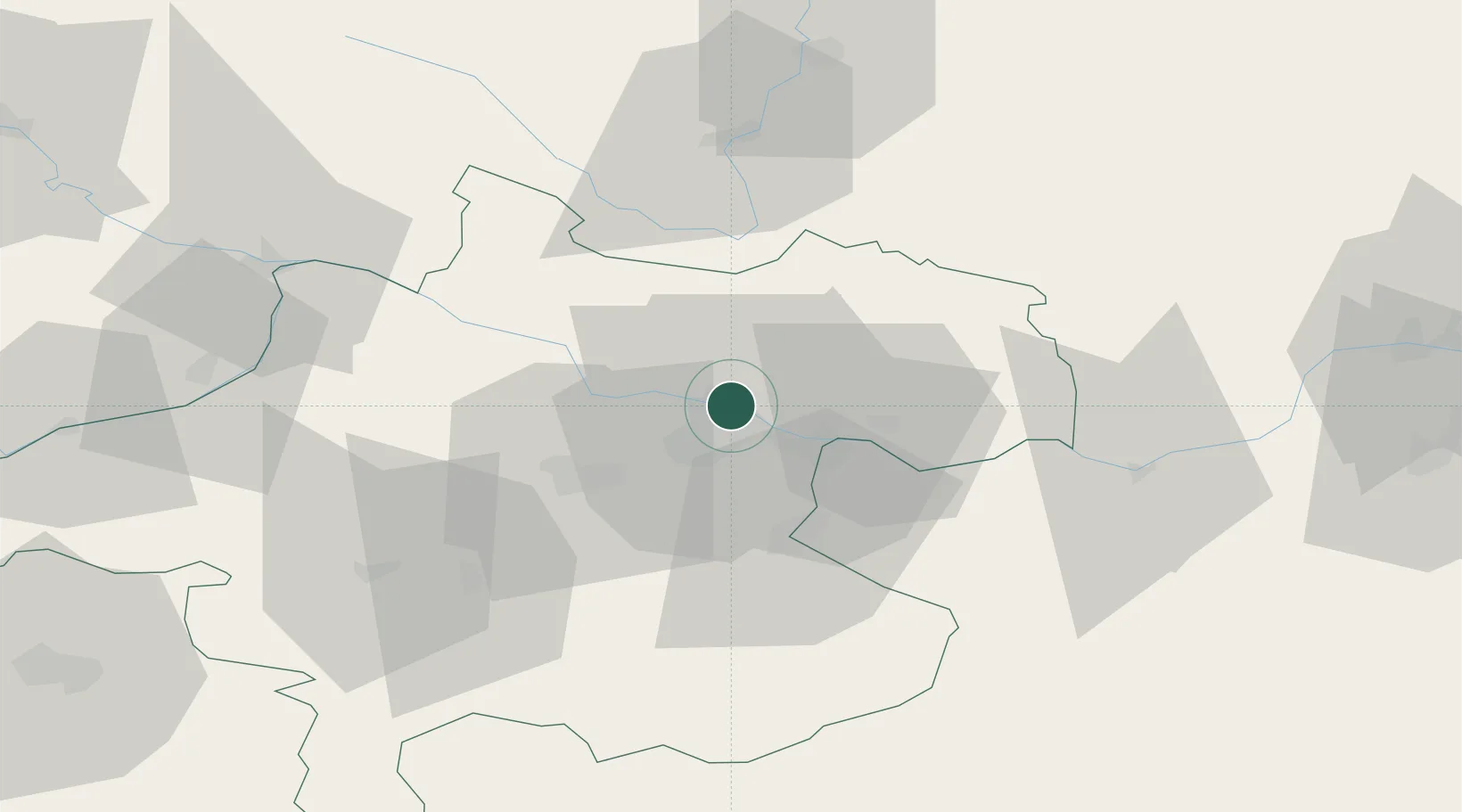
Location
Nearby Logistics Neighbours
Cities
- 1Steyregg5 km
- 2Gallneukirchen9 km
- 3Abwinden10 km
- 4Ottensheim10 km
- 5Engerwitzdorf11 km
Ports
- 1Monfalcone287 km
- 2Nogaro296 km
- 3Trieste298 km
- 4Grado300 km
- 5Muggia304 km
Airports
- 1Linz-Hörsching Airport12 km
- 2České Budějovice South Bohemian Airport72 km
- 3Salzburg Airport113 km
- 4Hinterstoisser Air Base127 km
- 5Wiener Neustadt West Airport151 km
Trade Zones
DatabookThe Record of Consolidated Knowledge
Austria beyond logistics?