UN/LOCODE hub · Austria
ATHRH

Hörsching

48.2333°, 14.1833°
4
Transport functions

Transport Functions

Rail
Road
Airport
Multimodal
UN/LOCODE

Hub Profile

Region
4
GeoNames

Location

Location of ATHRH
Natural Earth 10m (public domain) · 4 · ATHRH · 48.23, 14.18GoogleOSMYandex

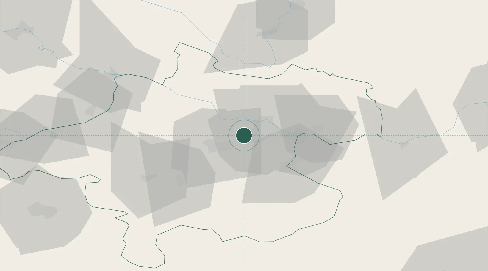
Nearby Logistics Neighbours

Cities
  1. 1Oftering4 km
  2. 2Ansfelden8 km
  3. 3Merchtrenk8 km
  4. 4Ottensheim11 km
  5. 5Linz13 km
Nearest neighbours — logibook spatial index (haversine) over the source coordinates
Ports
  1. 1Monfalcone277 km
  2. 2Nogaro286 km
  3. 3Trieste289 km
  4. 4Grado290 km
  5. 5Muggia295 km
Nearest neighbours — logibook spatial index (haversine) over the source coordinates
Airports
  1. 1Linz-Hörsching Airport0 km
  2. 2České Budějovice South Bohemian Airport82 km
  3. 3Salzburg Airport100 km
  4. 4Hinterstoisser Air Base122 km
  5. 5Wiener Neustadt West Airport158 km
Nearest neighbours — logibook spatial index (haversine) over the source coordinates
Trade Zones
  1. 1Freeport of Deggendorf116 km
  2. 2Světlá nad Sázavou Municipal Industrial Zone183 km
  3. 3Industrial Zone Kutna Hora206 km
  4. 4Černovická Terasa Industrial Zone211 km
  5. 5Kolín - Ovčáry Industrial Zone218 km
Nearest neighbours — logibook spatial index (haversine) over the source coordinates
DatabookThe Record of Consolidated Knowledge
Austria beyond logistics?
Browse databook

All Sources

LocationsUN/LOCODE
UN/LOCODE — free
Portsthe NGA World Port Index
Public domain (US gov)
AirportsOurAirports
Public domain
Trade Zonesthe World Bank SEZ database
CC BY 4.0
Trade ZonesOpen Zone Map
CC BY
← Austria locations