Transport Functions
Rail
Road
Hub Profile
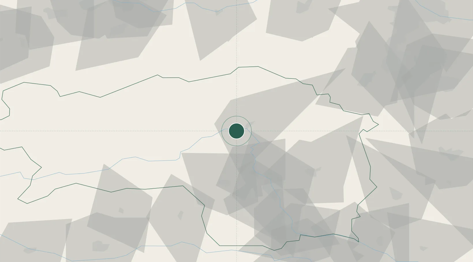
Place type
District seat
Region
Styria
Population
523
Time zone
Europe/Vienna
Elevation
536 m
Location
Nearby Logistics Neighbours
Cities
- 1Pernegg an der Mur12 km
- 2Sankt Marein im Mürztal14 km
- 3Vordernberg18 km
- 4Breitenau am Hochlantsch19 km
- 5Kindberg21 km
Ports
- 1Monfalcone220 km
- 2Trieste225 km
- 3Muggia229 km
- 4Koper235 km
- 5Rijeka Luka238 km
Airports
- 1Hinterstoisser Air Base42 km
- 2Graz Airport49 km
- 3Wiener Neustadt West Airport90 km
- 4Wiener Neustadt East Airport92 km
- 5Klagenfurt Airport107 km
Trade Zones
- 1Krapina-Zagorje Free Zone148 km
- 2Sjever Free Zone150 km
- 3PJ Free Zone Zagreb185 km
- 4Černovická Terasa Industrial Zone225 km
- 5Free Port of Trieste225 km
DatabookThe Record of Consolidated Knowledge
Austria beyond logistics?