Transport Functions
Port
Road
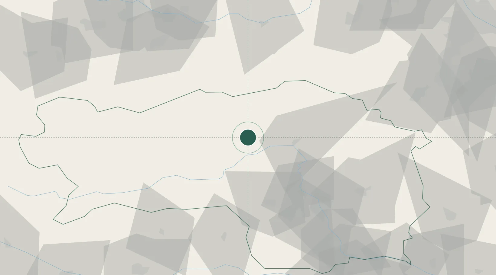
Hub Profile
Place type
District seat
Region
Styria
Population
1,045
Time zone
Europe/Vienna
Elevation
827 m
Location
Nearby Logistics Neighbours
Cities
- 1Kammern im Liesingtal11 km
- 2Oberaich18 km
- 3Sankt Marein im Mürztal28 km
- 4Pernegg an der Mur29 km
- 5Spielberg bei Knittelfeld32 km
Ports
- 1Monfalcone218 km
- 2Trieste224 km
- 3Muggia228 km
- 4Koper234 km
- 5Grado236 km
Airports
- 1Hinterstoisser Air Base35 km
- 2Graz Airport62 km
- 3Wiener Neustadt West Airport100 km
- 4Wiener Neustadt East Airport103 km
- 5Klagenfurt Airport105 km
Trade Zones
- 1Krapina-Zagorje Free Zone161 km
- 2Sjever Free Zone166 km
- 3PJ Free Zone Zagreb197 km
- 4Freeport of Deggendorf219 km
- 5Free Port of Trieste224 km
DatabookThe Record of Consolidated Knowledge
Austria beyond logistics?