Transport Functions
Road
Multimodal
Hub Profile
Region
6
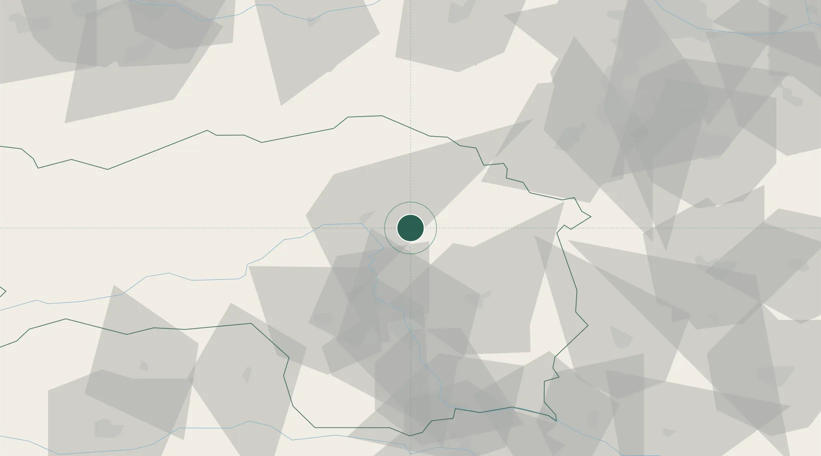
Location
Nearby Logistics Neighbours
Cities
- 1Pernegg an der Mur10 km
- 2Sankt Marein im Mürztal11 km
- 3Kindberg11 km
- 4Wartberg13 km
- 5Krieglach16 km
Ports
- 1Monfalcone232 km
- 2Trieste235 km
- 3Muggia239 km
- 4Rijeka Luka243 km
- 5Bakar244 km
Airports
- 1Graz Airport46 km
- 2Hinterstoisser Air Base59 km
- 3Wiener Neustadt West Airport75 km
- 4Wiener Neustadt East Airport77 km
- 5Maribor Edvard Rusjan Airport104 km
Trade Zones
- 1Sjever Free Zone140 km
- 2Krapina-Zagorje Free Zone142 km
- 3PJ Free Zone Zagreb181 km
- 4Černovická Terasa Industrial Zone216 km
- 5Veselí nad Moravou Industrial Zone224 km
DatabookThe Record of Consolidated Knowledge
Austria beyond logistics?