UN/LOCODE hub · Austria
ATPGM
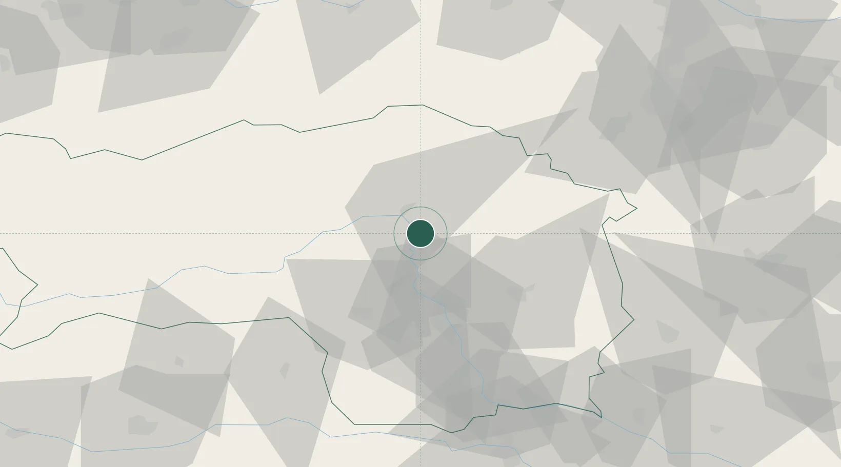
Pernegg an der Mur
47.3500°, 15.3500°
706
Population
2
Transport functions
Transport Functions
Rail
Road
Hub Profile
Place type
District seat
Region
Styria
Population
706
Time zone
Europe/Vienna
Elevation
464 m
Location
Nearby Logistics Neighbours
Cities
- 1Breitenau am Hochlantsch10 km
- 2Oberaich12 km
- 3Sankt Marein im Mürztal13 km
- 4Peggau17 km
- 5Kindberg18 km
Ports
- 1Monfalcone222 km
- 2Trieste225 km
- 3Muggia229 km
- 4Rijeka Luka235 km
- 5Koper235 km
Airports
- 1Graz Airport41 km
- 2Hinterstoisser Air Base49 km
- 3Wiener Neustadt West Airport85 km
- 4Wiener Neustadt East Airport88 km
- 5Maribor Edvard Rusjan Airport100 km
Trade Zones
- 1Krapina-Zagorje Free Zone139 km
- 2Sjever Free Zone140 km
- 3PJ Free Zone Zagreb177 km
- 4Černovická Terasa Industrial Zone225 km
- 5Free Port of Trieste225 km
DatabookThe Record of Consolidated Knowledge
Austria beyond logistics?