Large airport · Austria
Klagenfurt AirportLOWK
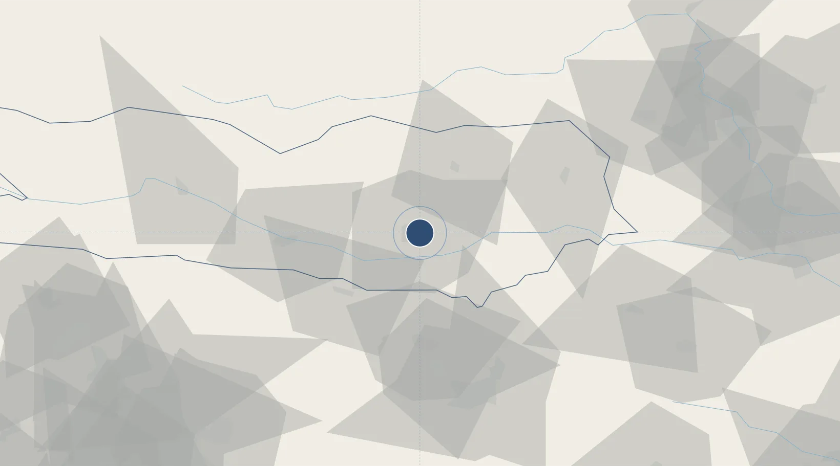
46.6425°, 14.3377°
8,924 ft
Longest runway
2
Runways
1,472 ft
Elevation
Runway & Layout

Radio Frequencies
ATIS
126.33 MHz
TWR
118.1 MHz
Klagenfurt Tower
APP/RADAR
123.325 MHz
Klagenfurt Radar
Navaids
KFT VOR-DME Klagenfurt 113.10 MHz
KFT NDB Klagenfurt 374 kHz
KW NDB Klagenfurt 405 kHz
VIW VOR-DME Villach 112.90 MHz
Runways · 2
| Runway | Dimensions | Surface | True heading | Lit |
|---|---|---|---|---|
| 10L/28R | 8,924 × 148ft | Concrete | 106° | ✓ |
| 10R/28L | 2,427 × 90ft | Grass | 106° | — |
Airport Specifications
IATA code
KLU
ICAO code
LOWK
Airport class
Large airport
Scheduled service
Yes
Runway surface
Concrete
Served city
Klagenfurt am Wörthersee
Location
Nearby Logistics Neighbours
Airports
- 1Ljubljana Jože Pučnik Airport48 km
- 2Hinterstoisser Air Base70 km
- 3Graz Airport92 km
- 4Maribor Edvard Rusjan Airport105 km
- 5Trieste Airport112 km
Cities
- 1Sankt Margrethen4 km
- 2Klagenfurt4 km
- 3Pischeldorf10 km
- 4Sankt Kanzian am Klopeiner See19 km
- 5Feldkirchen im Kärnten21 km
Ports
- 1Monfalcone113 km
- 2Trieste119 km
- 3Muggia124 km
- 4Koper130 km
- 5Grado132 km
Trade Zones
- 1Free Port of Trieste120 km
- 2Krapina-Zagorje Free Zone130 km
- 3Free Zone Kukuljanovo146 km
- 4PJ Free Zone Zagreb151 km
- 5Sjever Free Zone158 km
DatabookThe Record of Consolidated Knowledge
Austria beyond logistics?