Transport Functions
Rail
Road
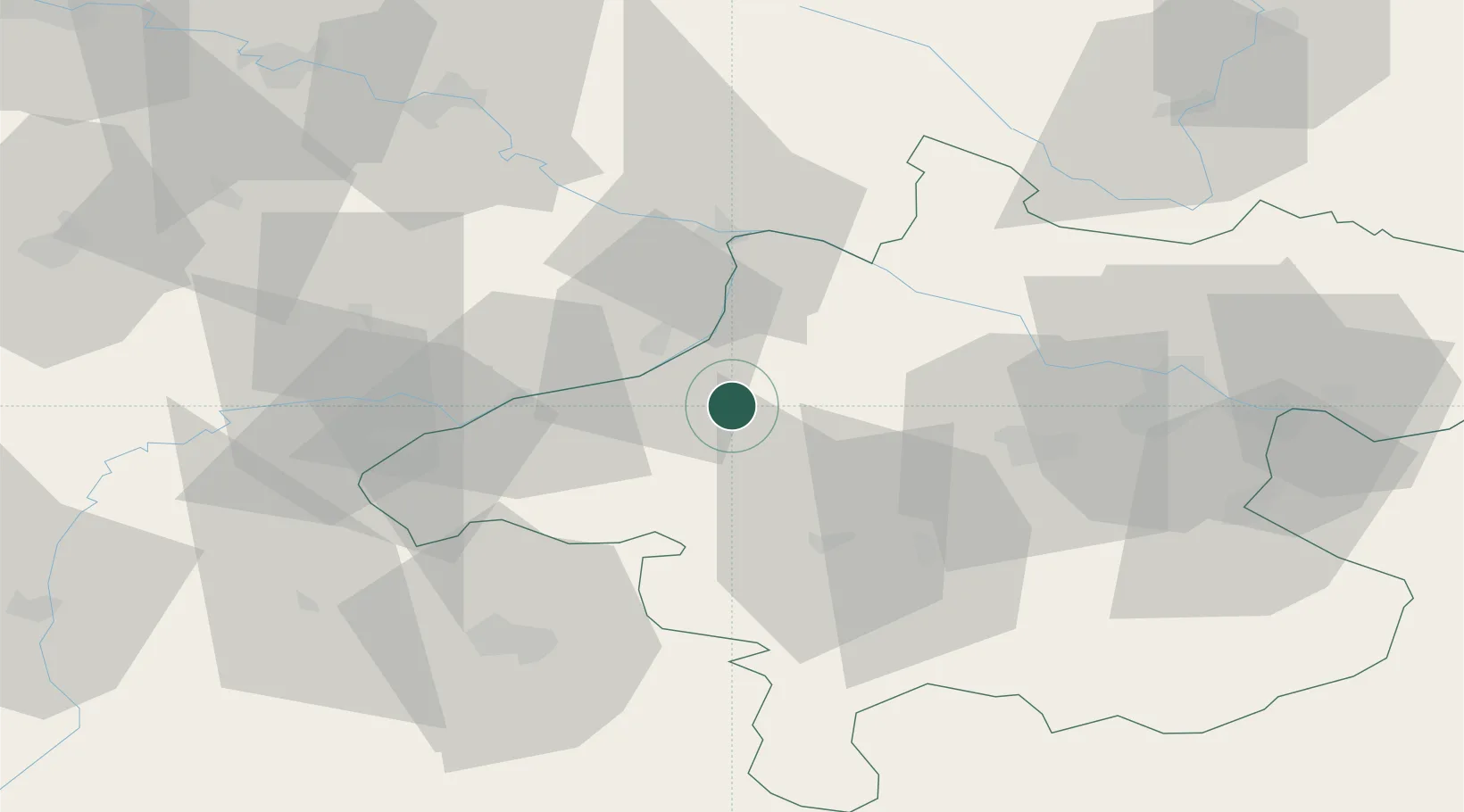
Location
Nearby Logistics Neighbours
Cities
- 1Sankt Martin im Innkreis4 km
- 2Ort im Innkreis6 km
- 3Kirchheim im Innkreis7 km
- 4Hohenzell10 km
- 5Sankt Marienkirchen am Hausruck13 km
Ports
- 1Monfalcone274 km
- 2Nogaro278 km
- 3Grado284 km
- 4Trieste290 km
- 5Muggia296 km
Airports
- 1Linz-Hörsching Airport55 km
- 2Salzburg Airport61 km
- 3České Budějovice South Bohemian Airport106 km
- 4Landshut Airfield109 km
- 5Munich Airport124 km
Trade Zones
DatabookThe Record of Consolidated Knowledge
Austria beyond logistics?