UN/LOCODE hub · Austria
ATKII

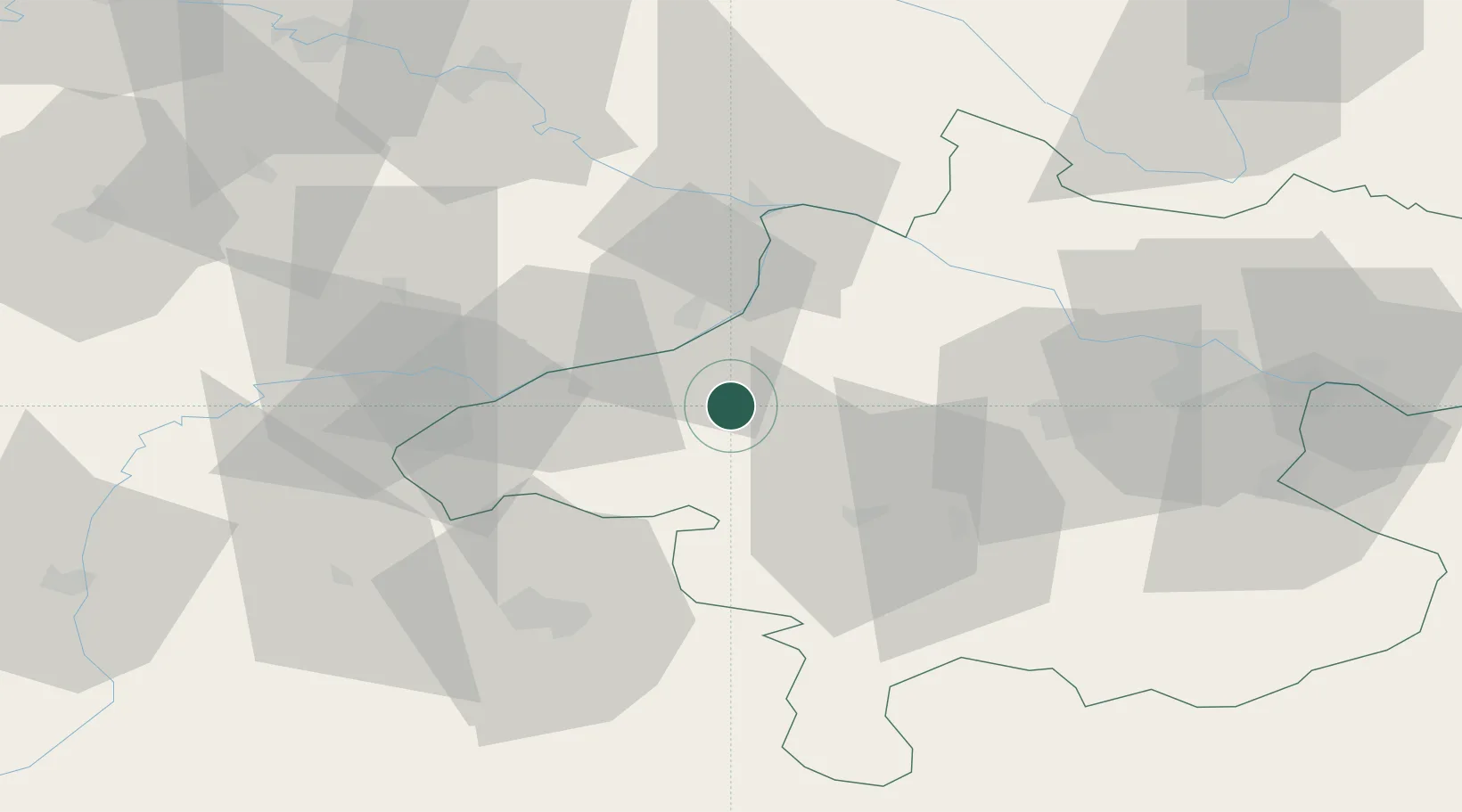
Kirchheim im Innkreis

48.2000°, 13.3833°
185
Population
2
Transport functions

Transport Functions

Road
Multimodal
UN/LOCODE

Hub Profile

Place type
Populated place
GeoNames
Region
Upper Austria
GeoNames
Population
185
GeoNames
Time zone
Europe/Vienna
GeoNames
Elevation
431 m
GeoNames

Location

Location of ATKII
Natural Earth 10m (public domain) · Upper Austria · ATKII · 48.20, 13.38GoogleOSMYandex

Nearby Logistics Neighbours

Cities
  1. 1Aurolzmünster7 km
  2. 2Sankt Martin im Innkreis10 km
  3. 3Hohenzell11 km
  4. 4Ort im Innkreis12 km
  5. 5Geinberg12 km
Nearest neighbours — logibook spatial index (haversine) over the source coordinates
Ports
  1. 1Monfalcone269 km
  2. 2Nogaro272 km
  3. 3Grado278 km
  4. 4Trieste285 km
  5. 5Muggia291 km
Nearest neighbours — logibook spatial index (haversine) over the source coordinates
Airports
  1. 1Salzburg Airport53 km
  2. 2Linz-Hörsching Airport60 km
  3. 3Landshut Airfield106 km
  4. 4České Budějovice South Bohemian Airport113 km
  5. 5Munich Airport119 km
Nearest neighbours — logibook spatial index (haversine) over the source coordinates
Trade Zones
  1. 1Freeport of Deggendorf80 km
  2. 2Světlá nad Sázavou Municipal Industrial Zone221 km
  3. 3Podbořany Industrial Zone226 km
  4. 4Industrial Zone Kutna Hora238 km
  5. 5Žatec - Triangle Strategic Industrial Zone244 km
Nearest neighbours — logibook spatial index (haversine) over the source coordinates
DatabookThe Record of Consolidated Knowledge
Austria beyond logistics?
Browse databook

All Sources

LocationsUN/LOCODE
UN/LOCODE — free
LocationsGeoNames
CC BY 4.0
Portsthe NGA World Port Index
Public domain (US gov)
AirportsOurAirports
Public domain
Trade Zonesthe World Bank SEZ database
CC BY 4.0
Trade ZonesOpen Zone Map
CC BY
← Austria locations