Transport Functions
Port
Road
Hub Profile
Place type
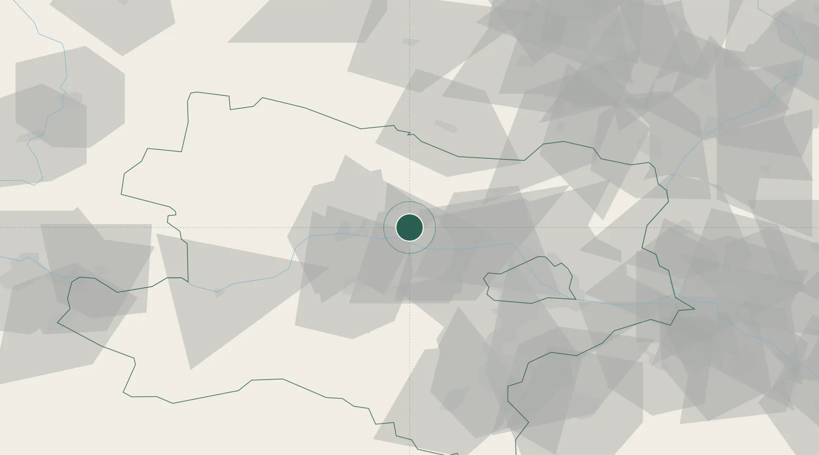
Populated place
Region
Lower Austria
Population
297
Time zone
Europe/Vienna
Elevation
246 m
Location
Nearby Logistics Neighbours
Cities
- 1Kirchberg am Wagram2 km
- 2Neudegg4 km
- 3Königsbrunn am Wagram5 km
- 4Altenwörth8 km
- 5Engabrunn10 km
Ports
- 1Monfalcone345 km
- 2Trieste351 km
- 3Muggia355 km
- 4Koper361 km
- 5Nogaro363 km
Airports
Trade Zones
DatabookThe Record of Consolidated Knowledge
Austria beyond logistics?