UN/LOCODE hub · Austria
ATKBW
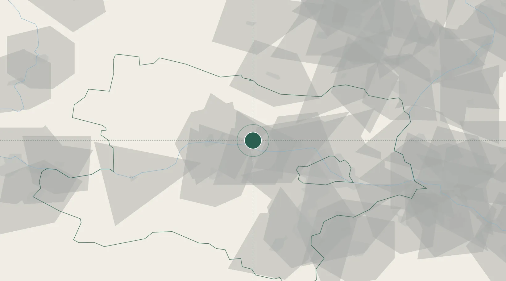
Kirchberg am Wagram
48.4333°, 15.9000°
1,277
Population
2
Transport functions
Transport Functions
Rail
Road
Hub Profile
Place type
District seat
Region
Lower Austria
Population
1,277
Time zone
Europe/Vienna
Elevation
187 m
Location
Nearby Logistics Neighbours
Cities
- 1Engelmannsbrunn2 km
- 2Königsbrunn am Wagram3 km
- 3Neudegg6 km
- 4Altenwörth7 km
- 5Niederrussbach10 km
Ports
- 1Monfalcone344 km
- 2Trieste350 km
- 3Muggia354 km
- 4Koper360 km
- 5Nogaro362 km
Airports
Trade Zones
DatabookThe Record of Consolidated Knowledge
Austria beyond logistics?