Transport Functions
Rail
Road
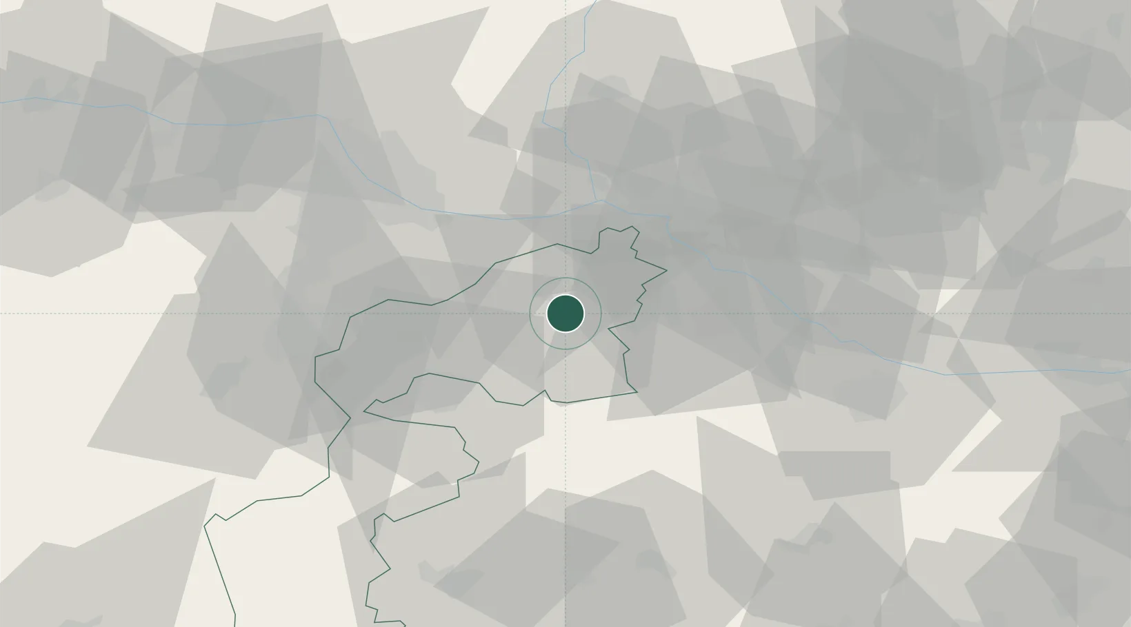
Hub Profile
Place type
District seat
Region
Burgenland
Population
3,835
Time zone
Europe/Vienna
Elevation
126 m
Location
Nearby Logistics Neighbours
Cities
- 1Mönchhof4 km
- 2Podersdorf am See8 km
- 3Frauenkirchen8 km
- 4Jois11 km
- 5Nickelsdorf13 km
Ports
- 1Bakar341 km
- 2Rijeka Luka342 km
- 3Trieste347 km
- 4Monfalcone347 km
- 5Omisalj348 km
Airports
Trade Zones
- 1Veselí nad Moravou Industrial Zone123 km
- 2Černovická Terasa Industrial Zone143 km
- 3Holešov Industrial Zone166 km
- 4Göd Special Economic Zone171 km
- 5Sjever Free Zone184 km
DatabookThe Record of Consolidated Knowledge
Austria beyond logistics?