Transport Functions
Port
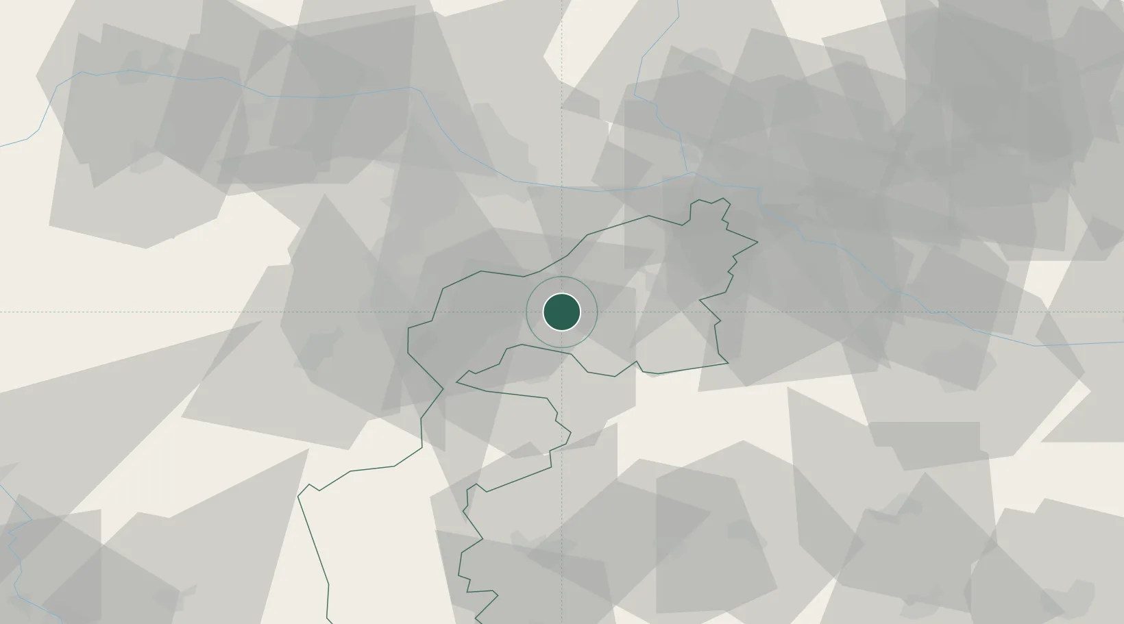
Hub Profile
Place type
Populated place
Region
Burgenland
Population
1,739
Time zone
Europe/Vienna
Elevation
121 m
Location
Nearby Logistics Neighbours
Cities
- 1Schutzen am Gebirge4 km
- 2Donnerskirchen8 km
- 3Morbisch am See9 km
- 4Podersdorf am See13 km
- 5Wulkaprodersdorf13 km
Ports
- 1Bakar326 km
- 2Rijeka Luka326 km
- 3Monfalcone329 km
- 4Trieste329 km
- 5Muggia332 km
Airports
Trade Zones
- 1Veselí nad Moravou Industrial Zone135 km
- 2Černovická Terasa Industrial Zone149 km
- 3Sjever Free Zone173 km
- 4Holešov Industrial Zone178 km
- 5Göd Special Economic Zone188 km
DatabookThe Record of Consolidated Knowledge
Austria beyond logistics?