Transport Functions
Port
Multimodal
Hub Profile
Region
1
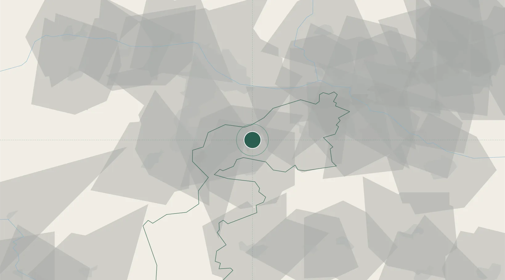
Location
Nearby Logistics Neighbours
Cities
- 1Oggau4 km
- 2Donnerskirchen6 km
- 3Grosshöflein10 km
- 4Wulkaprodersdorf10 km
- 5Müllendorf11 km
Ports
- 1Bakar325 km
- 2Rijeka Luka326 km
- 3Monfalcone328 km
- 4Trieste328 km
- 5Muggia331 km
Airports
Trade Zones
- 1Veselí nad Moravou Industrial Zone135 km
- 2Černovická Terasa Industrial Zone147 km
- 3Sjever Free Zone175 km
- 4Holešov Industrial Zone178 km
- 5Göd Special Economic Zone192 km
DatabookThe Record of Consolidated Knowledge
Austria beyond logistics?