UN/LOCODE hub · Austria
ATWUL
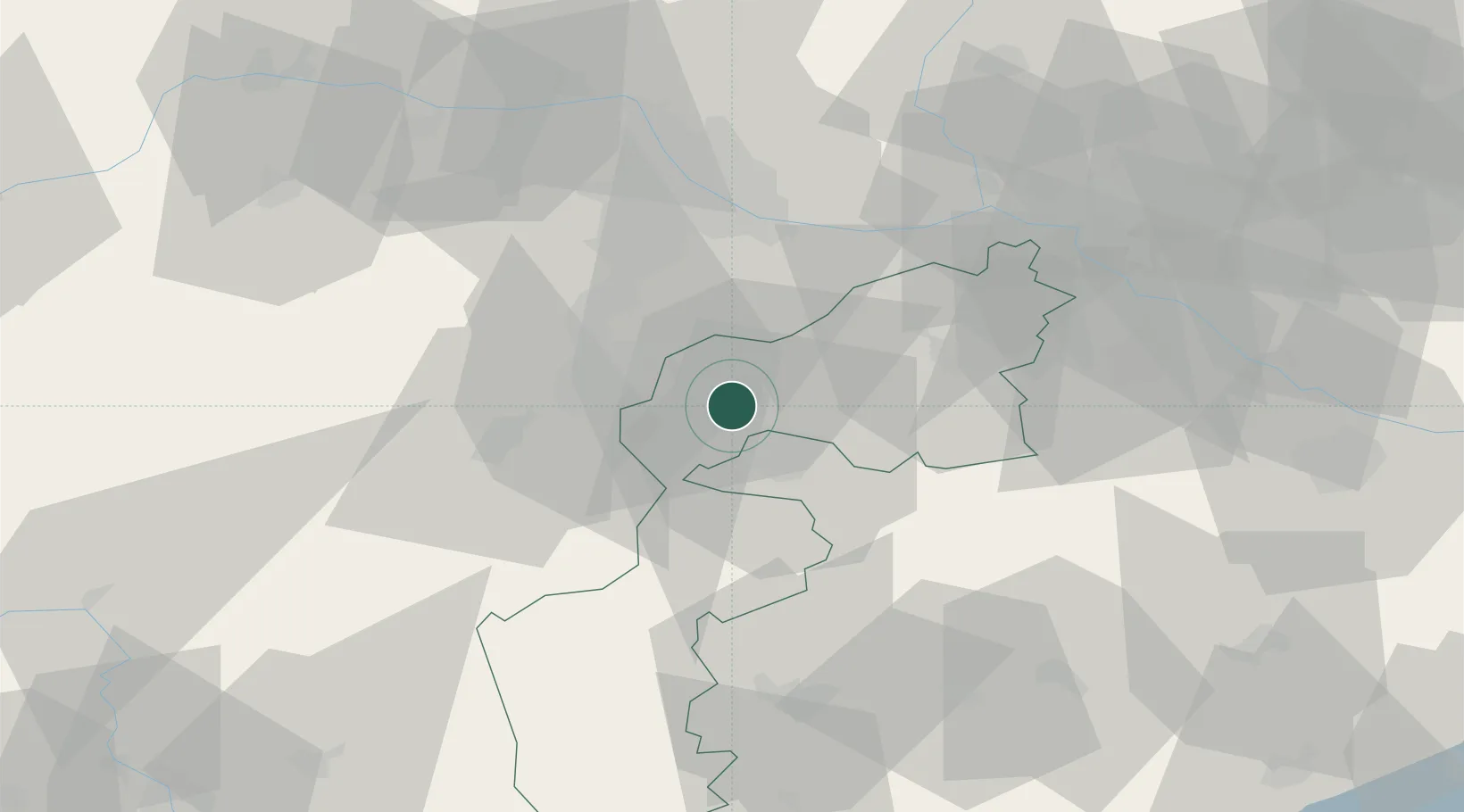
Wulkaprodersdorf
47.8000°, 16.5000°
1,944
Population
2
Transport functions
Transport Functions
Port
Road
Hub Profile
Place type
District seat
Region
Burgenland
Population
1,944
Time zone
Europe/Vienna
Elevation
167 m
Location
Nearby Logistics Neighbours
Cities
- 1Grosshöflein4 km
- 2Stottera5 km
- 3Müllendorf6 km
- 4Schutzen am Gebirge10 km
- 5Rohrbach bei Mattersburg11 km
Ports
- 1Bakar316 km
- 2Rijeka Luka317 km
- 3Monfalcone317 km
- 4Trieste318 km
- 5Muggia321 km
Airports
Trade Zones
- 1Veselí nad Moravou Industrial Zone144 km
- 2Černovická Terasa Industrial Zone153 km
- 3Sjever Free Zone168 km
- 4Holešov Industrial Zone186 km
- 5Krapina-Zagorje Free Zone189 km
DatabookThe Record of Consolidated Knowledge
Austria beyond logistics?