Transport Functions
Rail
Hub Profile
Place type
Populated place
Region
Győr-Moson-Sopron
Population
1,971
Time zone
Europe/Budapest
Elevation
256 m
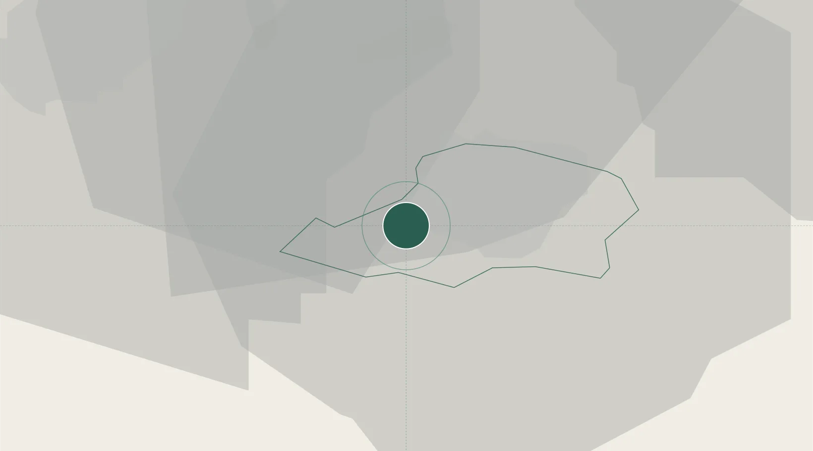
Location
Nearby Logistics Neighbours
Cities
- 1Rohrbach bei Mattersburg8 km
- 2Stottera10 km
- 3Horitschon11 km
- 4Deutschkreutz13 km
- 5Wulkaprodersdorf13 km
Ports
- 1Bakar305 km
- 2Rijeka Luka306 km
- 3Monfalcone309 km
- 4Trieste309 km
- 5Muggia313 km
Airports
Trade Zones
- 1Veselí nad Moravou Industrial Zone155 km
- 2Sjever Free Zone156 km
- 3Černovická Terasa Industrial Zone166 km
- 4Krapina-Zagorje Free Zone177 km
- 5Holešov Industrial Zone198 km
DatabookThe Record of Consolidated Knowledge
Hungary beyond logistics?