UN/LOCODE hub · Austria
ATEIN

Hoflein

48.0667°, 16.7833°
1
Transport functions

Transport Functions

Port
UN/LOCODE

Hub Profile

Region
3
GeoNames

Location

Location of ATEIN
Natural Earth 10m (public domain) · 3 · ATEIN · 48.07, 16.78GoogleOSMYandex

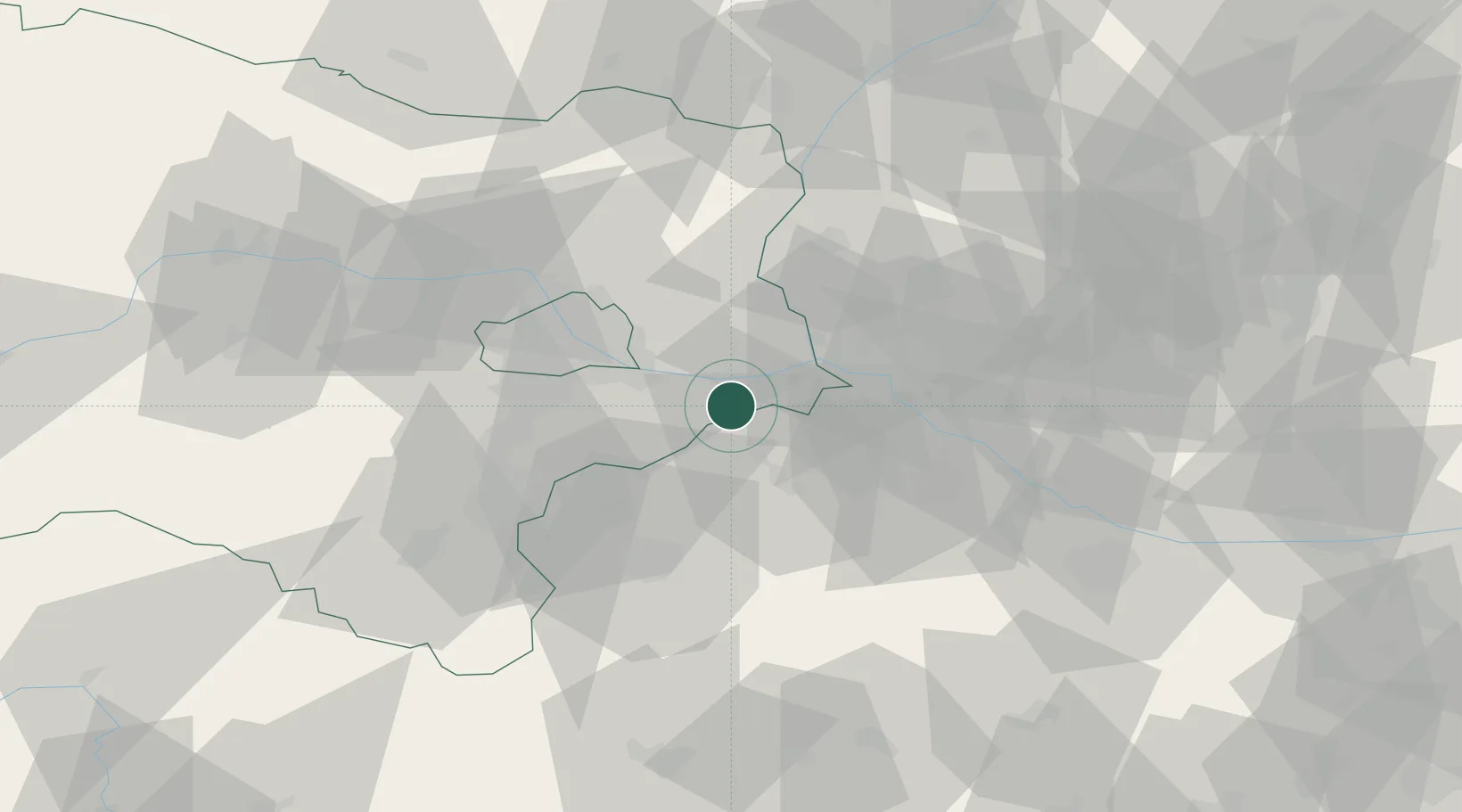
Nearby Logistics Neighbours

Cities
  1. 1Rohrau5 km
  2. 2Jois11 km
  3. 3Loimersdorf12 km
  4. 4Mannersdorf am Leithagebirge18 km
  5. 5Gols21 km
Nearest neighbours — logibook spatial index (haversine) over the source coordinates
Ports
  1. 1Bakar352 km
  2. 2Rijeka Luka353 km
  3. 3Monfalcone353 km
  4. 4Trieste354 km
  5. 5Muggia358 km
Nearest neighbours — logibook spatial index (haversine) over the source coordinates
Airports
  1. 1Vienna International Airport17 km
  2. 2M. R. Štefánik Airport34 km
  3. 3Malacky/Kuchyňa Air Base45 km
  4. 4Wiener Neustadt East Airport46 km
  5. 5Wiener Neustadt West Airport49 km
Nearest neighbours — logibook spatial index (haversine) over the source coordinates
Trade Zones
  1. 1Veselí nad Moravou Industrial Zone108 km
  2. 2Černovická Terasa Industrial Zone123 km
  3. 3Holešov Industrial Zone151 km
  4. 4Göd Special Economic Zone183 km
  5. 5Sjever Free Zone200 km
Nearest neighbours — logibook spatial index (haversine) over the source coordinates
DatabookThe Record of Consolidated Knowledge
Austria beyond logistics?
Browse databook

All Sources

LocationsUN/LOCODE
UN/LOCODE — free
Portsthe NGA World Port Index
Public domain (US gov)
AirportsOurAirports
Public domain
Trade Zonesthe World Bank SEZ database
CC BY 4.0
Trade ZonesOpen Zone Map
CC BY
← Austria locations