Transport Functions
Port
Multimodal
Hub Profile
Place type
District seat
Region
Lower Austria
Population
451
Time zone
Europe/Vienna
Elevation
144 m
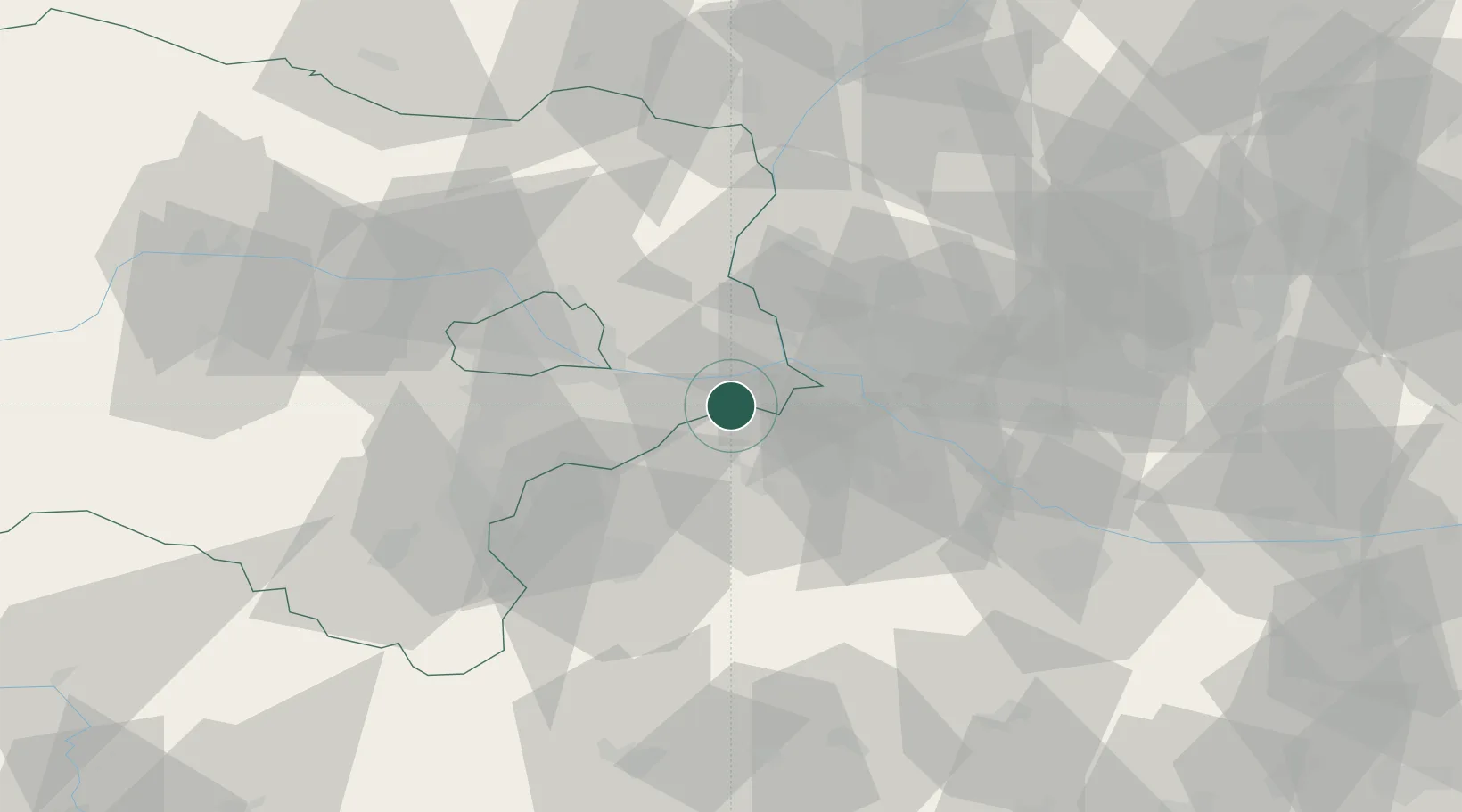
Location
Nearby Logistics Neighbours
Cities
- 1Hoflein5 km
- 2Loimersdorf11 km
- 3Jois12 km
- 4Gols19 km
- 5Vinohrady21 km
Ports
- 1Bakar355 km
- 2Rijeka Luka355 km
- 3Monfalcone357 km
- 4Trieste358 km
- 5Muggia361 km
Airports
Trade Zones
- 1Veselí nad Moravou Industrial Zone106 km
- 2Černovická Terasa Industrial Zone124 km
- 3Holešov Industrial Zone149 km
- 4Göd Special Economic Zone178 km
- 5Sjever Free Zone201 km
DatabookThe Record of Consolidated Knowledge
Austria beyond logistics?