Transport Functions
Port
Road
Hub Profile
Region
3
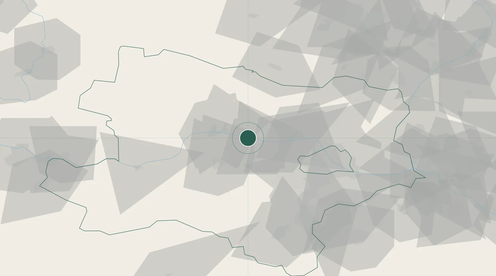
Location
Nearby Logistics Neighbours
Cities
- 1Kirchberg am Wagram7 km
- 2Erpersdorf7 km
- 3Zwentendorf an der Donau7 km
- 4Königsbrunn am Wagram7 km
- 5Engelmannsbrunn8 km
Ports
- 1Monfalcone338 km
- 2Trieste343 km
- 3Muggia348 km
- 4Koper354 km
- 5Nogaro356 km
Airports
Trade Zones
DatabookThe Record of Consolidated Knowledge
Austria beyond logistics?