Transport Functions
Port
Road
Hub Profile
Region
3
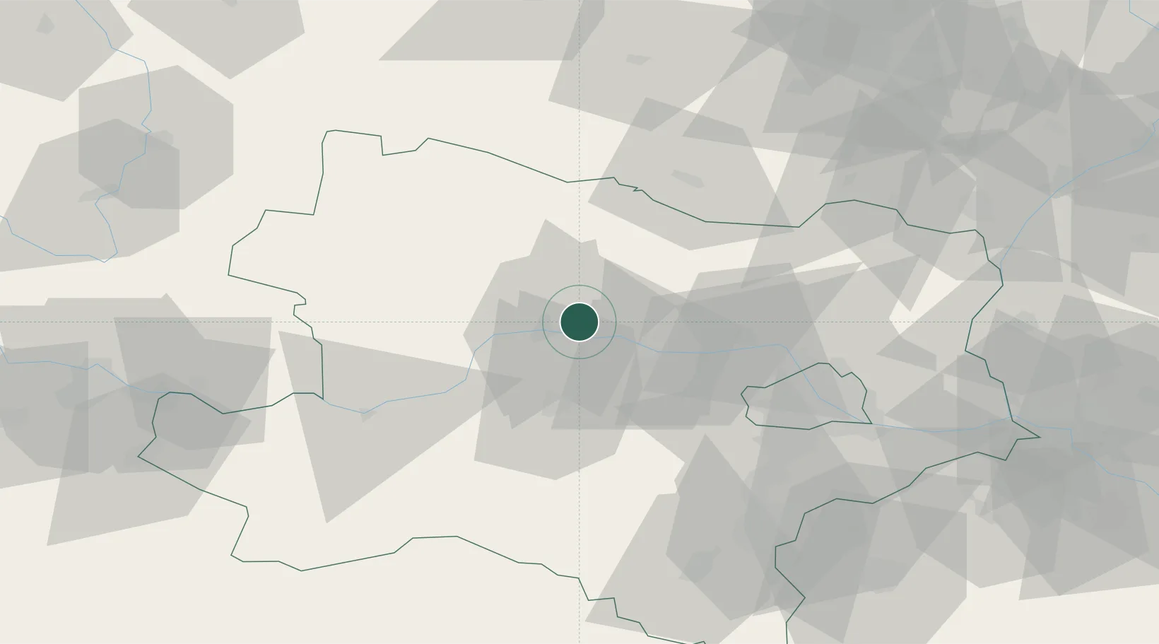
Location
Nearby Logistics Neighbours
Cities
- 1Hadersdorf0 km
- 2Strass im Strassertale2 km
- 3Etsdorf am Kamp2 km
- 4Engabrunn3 km
- 5Zobing4 km
Ports
- 1Monfalcone339 km
- 2Trieste345 km
- 3Muggia350 km
- 4Koper356 km
- 5Nogaro356 km
Airports
- 1Vienna International Airport74 km
- 2Wiener Neustadt West Airport78 km
- 3Wiener Neustadt East Airport79 km
- 4Náměšť Air Base85 km
- 5Malacky/Kuchyňa Air Base104 km
Trade Zones
DatabookThe Record of Consolidated Knowledge
Austria beyond logistics?