UN/LOCODE hub · Austria
ATRBM

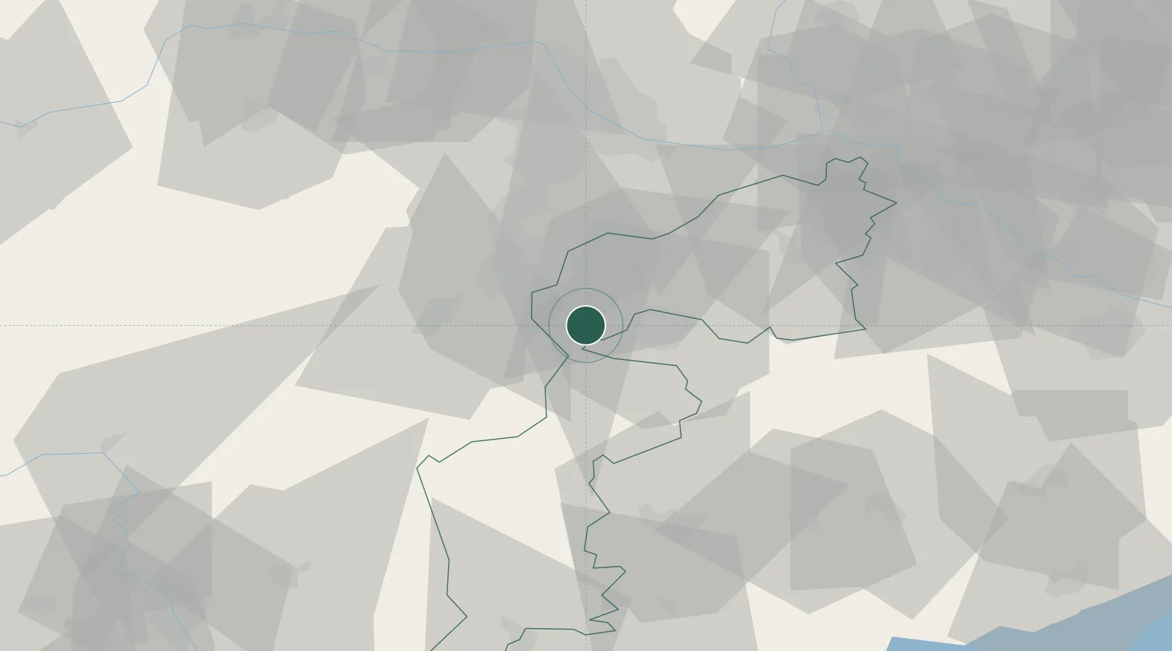
Rohrbach bei Mattersburg

47.7167°, 16.4167°
2,707
Population
1
Transport functions

Transport Functions

Multimodal
UN/LOCODE

Hub Profile

Place type
District seat
GeoNames
Region
Burgenland
GeoNames
Population
2,707
GeoNames
Time zone
Europe/Vienna
GeoNames
Elevation
279 m
GeoNames

Location

Location of ATRBM
Natural Earth 10m (public domain) · Burgenland · ATRBM · 47.72, 16.42GoogleOSMYandex

Nearby Logistics Neighbours

Cities
  1. 1Stottera7 km
  2. 2Agfalva8 km
  3. 3Wulkaprodersdorf11 km
  4. 4Lanzenkirchen14 km
  5. 5Grosshöflein14 km
Nearest neighbours — logibook spatial index (haversine) over the source coordinates
Ports
  1. 1Bakar305 km
  2. 2Rijeka Luka305 km
  3. 3Monfalcone306 km
  4. 4Trieste307 km
  5. 5Muggia310 km
Nearest neighbours — logibook spatial index (haversine) over the source coordinates
Airports
  1. 1Wiener Neustadt East Airport18 km
  2. 2Wiener Neustadt West Airport20 km
  3. 3Vienna International Airport45 km
  4. 4M. R. Štefánik Airport78 km
  5. 5Malacky/Kuchyňa Air Base92 km
Nearest neighbours — logibook spatial index (haversine) over the source coordinates
Trade Zones
  1. 1Veselí nad Moravou Industrial Zone155 km
  2. 2Sjever Free Zone159 km
  3. 3Černovická Terasa Industrial Zone163 km
  4. 4Krapina-Zagorje Free Zone179 km
  5. 5Holešov Industrial Zone197 km
Nearest neighbours — logibook spatial index (haversine) over the source coordinates
DatabookThe Record of Consolidated Knowledge
Austria beyond logistics?
Browse databook

All Sources

LocationsUN/LOCODE
UN/LOCODE — free
LocationsGeoNames
CC BY 4.0
Portsthe NGA World Port Index
Public domain (US gov)
AirportsOurAirports
Public domain
Trade Zonesthe World Bank SEZ database
CC BY 4.0
Trade ZonesOpen Zone Map
CC BY
← Austria locations