Transport Functions
Port
Road
Hub Profile
Region
4
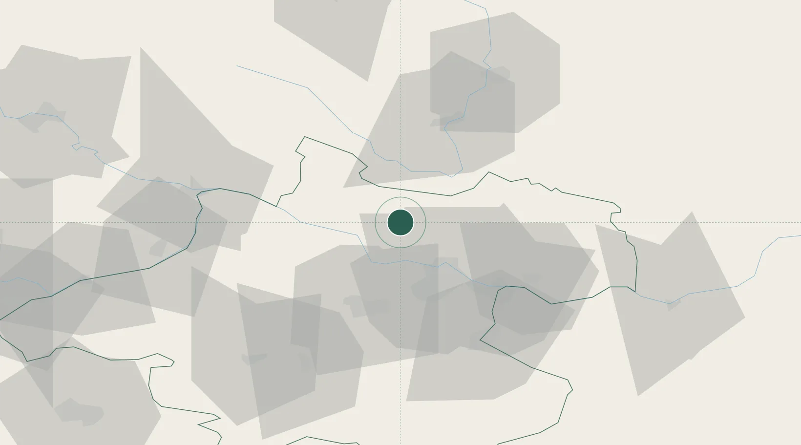
Location
Nearby Logistics Neighbours
Cities
- 1Neufelden12 km
- 2Ottensheim15 km
- 3Hartkirchen17 km
- 4Pupping19 km
- 5Aigen19 km
Ports
- 1Monfalcone302 km
- 2Nogaro310 km
- 3Trieste315 km
- 4Grado315 km
- 5Muggia320 km
Airports
- 1Linz-Hörsching Airport26 km
- 2České Budějovice South Bohemian Airport57 km
- 3Salzburg Airport113 km
- 4Hinterstoisser Air Base147 km
- 5Plzeň-Líně Airport149 km
Trade Zones
DatabookThe Record of Consolidated Knowledge
Austria beyond logistics?