UN/LOCODE hub · Austria
ATSET
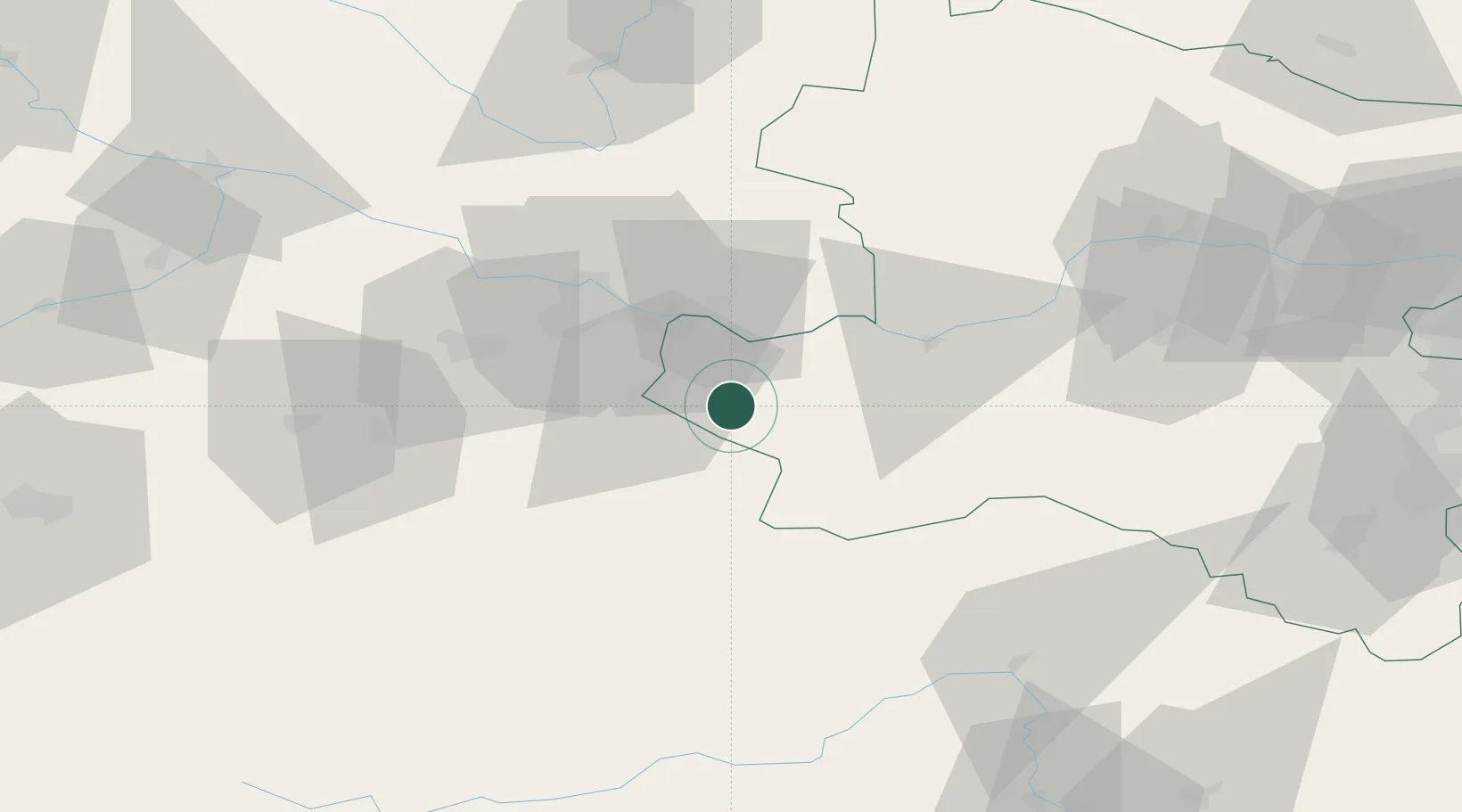
Seitenstetten Markt
48.0333°, 14.6333°
3,394
Population
1
Transport functions
Transport Functions
Rail
Hub Profile
Place type
Populated place
Region
Lower Austria
Population
3,394
Time zone
Europe/Vienna
Elevation
345 m
Location
Nearby Logistics Neighbours
Cities
- 1Hilm9 km
- 2Aschbach Markt9 km
- 3Böhlerwenk10 km
- 4Haag11 km
- 5Allhartsberg11 km
Ports
- 1Monfalcone263 km
- 2Trieste273 km
- 3Nogaro276 km
- 4Muggia279 km
- 5Grado279 km
Airports
Trade Zones
DatabookThe Record of Consolidated Knowledge
Austria beyond logistics?