Transport Functions
Rail
Road
Hub Profile
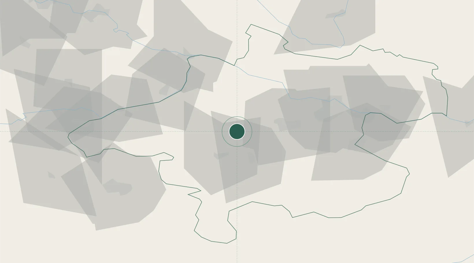
Place type
Populated place
Region
Upper Austria
Population
1,313
Time zone
Europe/Vienna
Elevation
451 m
Location
Nearby Logistics Neighbours
Cities
- 1Manning7 km
- 2Ottnang am Hausruck8 km
- 3Hofkirchen an der Trattnach9 km
- 4Haag am Hausruck9 km
- 5Stadl Paura11 km
Ports
- 1Monfalcone262 km
- 2Nogaro268 km
- 3Grado273 km
- 4Trieste276 km
- 5Muggia282 km
Airports
- 1Linz-Hörsching Airport36 km
- 2Salzburg Airport66 km
- 3České Budějovice South Bohemian Airport104 km
- 4Hinterstoisser Air Base128 km
- 5Landshut Airfield132 km
Trade Zones
DatabookThe Record of Consolidated Knowledge
Austria beyond logistics?