UN/LOCODE hub · Austria
ATHDT

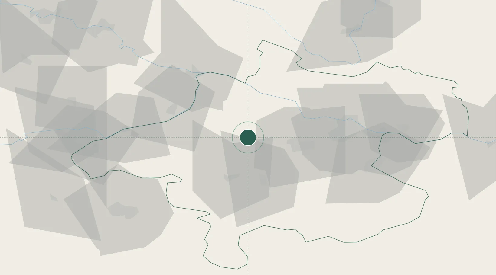
Hofkirchen an der Trattnach

48.2167°, 13.7333°
758
Population
2
Transport functions

Transport Functions

Road
Multimodal
UN/LOCODE

Hub Profile

Place type
Populated place
GeoNames
Region
Upper Austria
GeoNames
Population
758
GeoNames
Time zone
Europe/Vienna
GeoNames
Elevation
386 m
GeoNames

Location

Location of ATHDT
Natural Earth 10m (public domain) · Upper Austria · ATHDT · 48.22, 13.73GoogleOSMYandex

Nearby Logistics Neighbours

Cities
  1. 1Wendling5 km
  2. 2Neumarkt im Hausruckkreis6 km
  3. 3Haag am Hausruck8 km
  4. 4Gaspoltshofen9 km
  5. 5Pichl bei Wels13 km
Nearest neighbours — logibook spatial index (haversine) over the source coordinates
Ports
  1. 1Monfalcone271 km
  2. 2Nogaro277 km
  3. 3Grado282 km
  4. 4Trieste285 km
  5. 5Muggia291 km
Nearest neighbours — logibook spatial index (haversine) over the source coordinates
Airports
  1. 1Linz-Hörsching Airport34 km
  2. 2Salzburg Airport72 km
  3. 3České Budějovice South Bohemian Airport96 km
  4. 4Landshut Airfield130 km
  5. 5Hinterstoisser Air Base136 km
Nearest neighbours — logibook spatial index (haversine) over the source coordinates
Trade Zones
  1. 1Freeport of Deggendorf93 km
  2. 2Světlá nad Sázavou Municipal Industrial Zone203 km
  3. 3Industrial Zone Kutna Hora222 km
  4. 4Podbořany Industrial Zone225 km
  5. 5Kolín - Ovčáry Industrial Zone233 km
Nearest neighbours — logibook spatial index (haversine) over the source coordinates
DatabookThe Record of Consolidated Knowledge
Austria beyond logistics?
Browse databook

All Sources

LocationsUN/LOCODE
UN/LOCODE — free
LocationsGeoNames
CC BY 4.0
Portsthe NGA World Port Index
Public domain (US gov)
AirportsOurAirports
Public domain
Trade Zonesthe World Bank SEZ database
CC BY 4.0
Trade ZonesOpen Zone Map
CC BY
← Austria locations