Transport Functions
Port
Road
Hub Profile
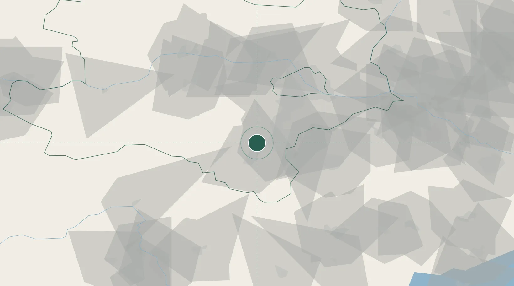
Place type
Populated place
Region
Lower Austria
Population
518
Time zone
Europe/Vienna
Elevation
401 m
Location
Nearby Logistics Neighbours
Cities
- 1Weikersdorf am Steinfelde5 km
- 2Bad Fischau5 km
- 3Wöllersdorf-Steinabrückl5 km
- 4Willendorf7 km
- 5Enzesfeld11 km
Ports
- 1Monfalcone299 km
- 2Trieste302 km
- 3Muggia305 km
- 4Rijeka Luka306 km
- 5Bakar306 km
Airports
Trade Zones
- 1Černovická Terasa Industrial Zone155 km
- 2Veselí nad Moravou Industrial Zone156 km
- 3Sjever Free Zone173 km
- 4Krapina-Zagorje Free Zone188 km
- 5Holešov Industrial Zone197 km
DatabookThe Record of Consolidated Knowledge
Austria beyond logistics?